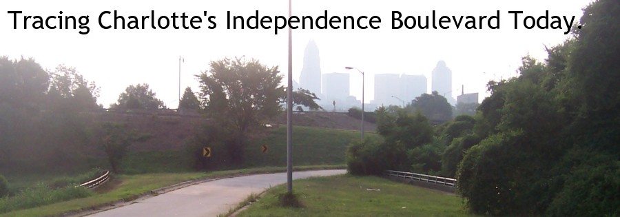
| Today in Charlotte many
pieces of the city's past are increasingly hard to find. In a growing
city that in creating a solid identity, many old things go by the wayside.
For Independence Boulevard, the same can be said. The backbone of
Charlotte's transportation in years gone by, old Independence is now broken
up, in some places it is now under a different name. However, if
you take a closer look, there's still a lot of the old road - and Charlotte's
past - to be found.
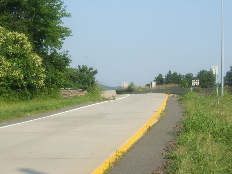
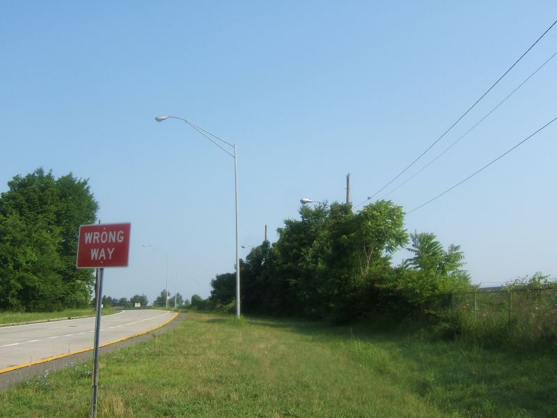
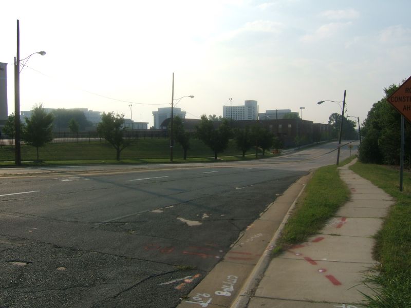
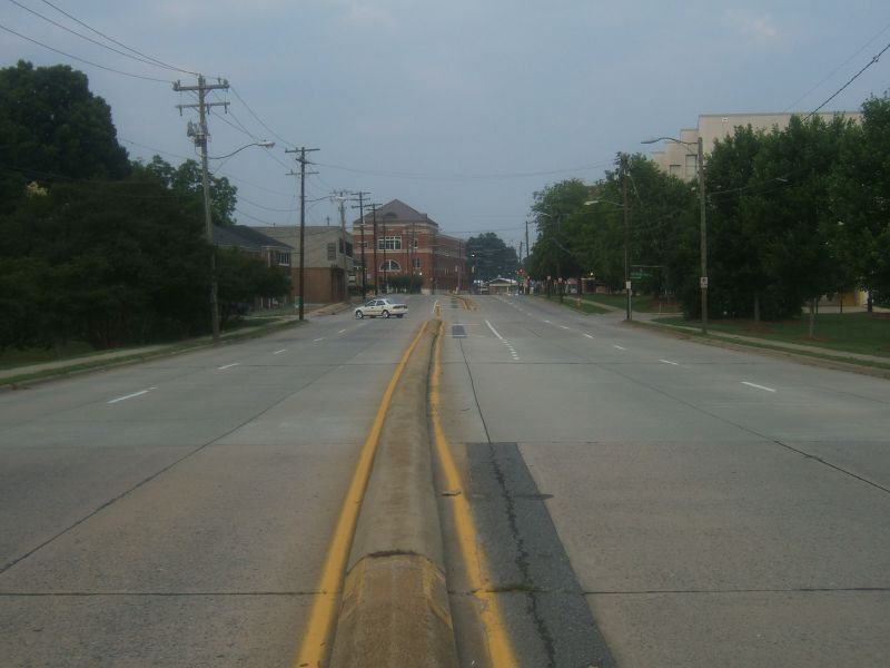
Chris Curley leads us on a tour of Old Independence with photos he took in June of 2006. I was fortunate to take this tour in person with him in the Spring of 2001. Chris has lived in the Charlotte Area since 1980 and knows much of the modern history of Independence Blvd. We start the tour on the west side of I-77 where Wilkinson Boulevard meets the Interstate. Originally, Wilkinson Boulevard from Morehead St. to I-77 was Independence. That name change would occur with the opening of I-277 in the 1980s. Today, within the system of ramps that connect US 74, I-277, and I-77 together is the first remnant of the original Independence. A bridge built in 1954 - that once carried the six lanes of Independence Blvd. - has been reduced to a one lane on-ramp. |
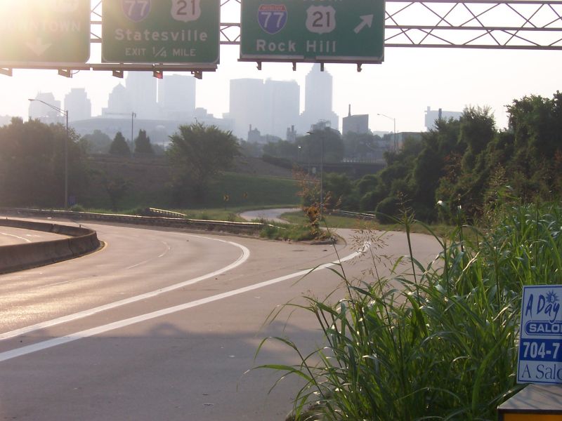 |
Left Image: The on-ramp from
US 74 East (Wilkinson Blvd.) to I-77 South was once part of Independence
Blvd. The bridge that once carried six lanes of traffic has been
reduced to handle only one lane for the ramp.
Right Image: Independence Blvd. would have gone straight through the flyover ramps embankment. |
 |
 |
Left Image: A closer look of
the former Independence Boulevard bridge.
Right Image: Looking westwards to Wilkinson Blvd. |
 |
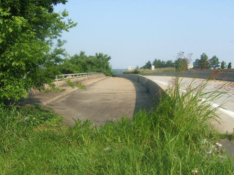
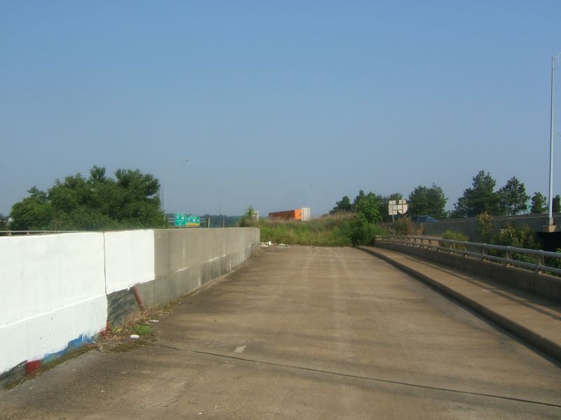
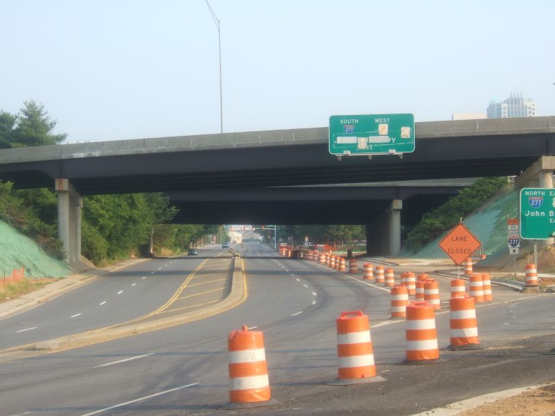
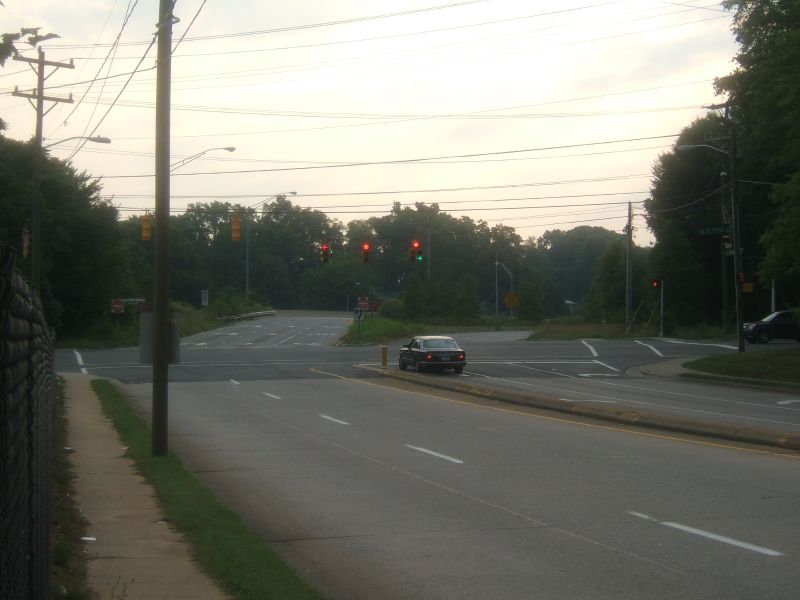
| Eastward from I-77, the first few hundred yards of Interstate 277 would be built on top of Independence Blvd. The off-ramp to Carson Blvd. would put to use another six lane bridge of the old highway. The bridge, which carries the ramp over a set of railroad tracks, was also built in 1954. Like the I-77 ramp to the west, this former six lane bridge now only handles one lane of traffic to Carson Blvd. at Mint. St. |
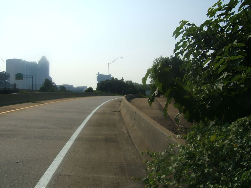 Here
the Carson Blvd. off ramp begins. The jersey barriers funnel the
former six lane bridge to one. Here
the Carson Blvd. off ramp begins. The jersey barriers funnel the
former six lane bridge to one. |
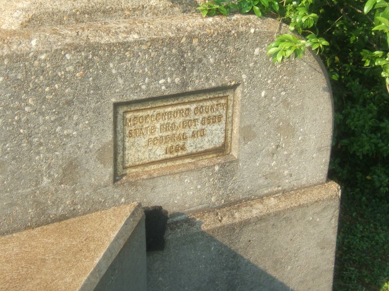 The
1954 bridge plate. The
1954 bridge plate. |
 Looking
west from the bridge down I-277 towards I-77. Looking
west from the bridge down I-277 towards I-77. |
 Looking
back up the ramp and bridge. Looking
back up the ramp and bridge. |
 The
former eastbound lanes of Independence Blvd. The
former eastbound lanes of Independence Blvd. |
 The
former westbound lanes as they disappear into I-277. The
former westbound lanes as they disappear into I-277. |
 An
old shoulder stripe from the westbound lanes still remains. An
old shoulder stripe from the westbound lanes still remains. |
 A
pair of streetlights, the left for the ramp. The second a leftover
from Independence Blvd. A
pair of streetlights, the left for the ramp. The second a leftover
from Independence Blvd. |
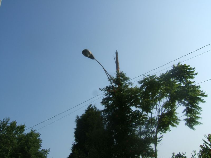 A
close-up of the older streetlight. A
close-up of the older streetlight. |
 Looking
west on Carson. Here you can see where the highway was removed. Looking
west on Carson. Here you can see where the highway was removed. |
 From
the off-ramp, a better view of the cleared highway and Carson Blvd. From
the off-ramp, a better view of the cleared highway and Carson Blvd. |
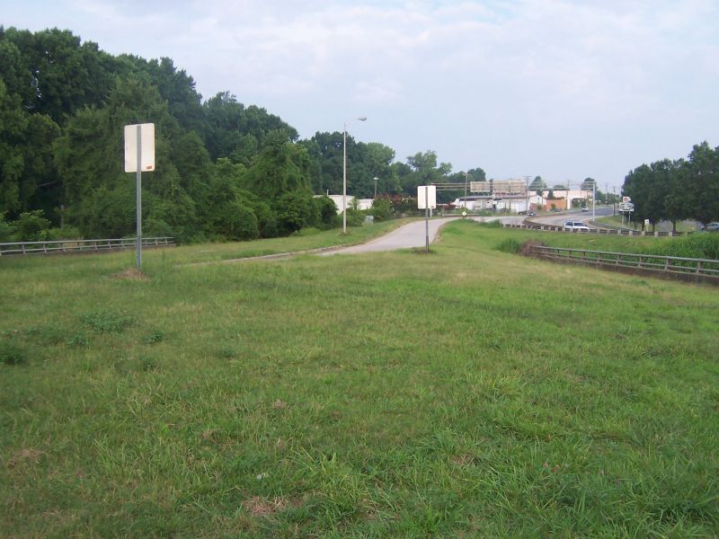
 An
intersection view of where Old Independence's westbound lanes were truncated. An
intersection view of where Old Independence's westbound lanes were truncated. |
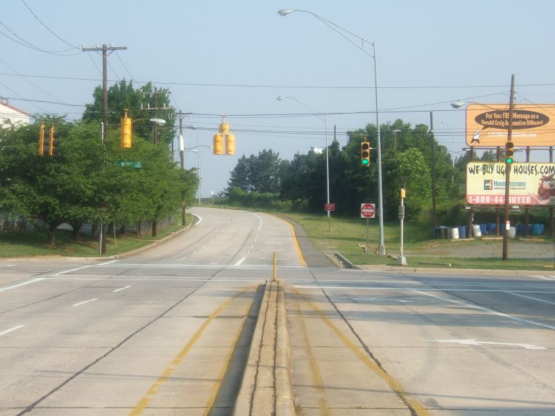
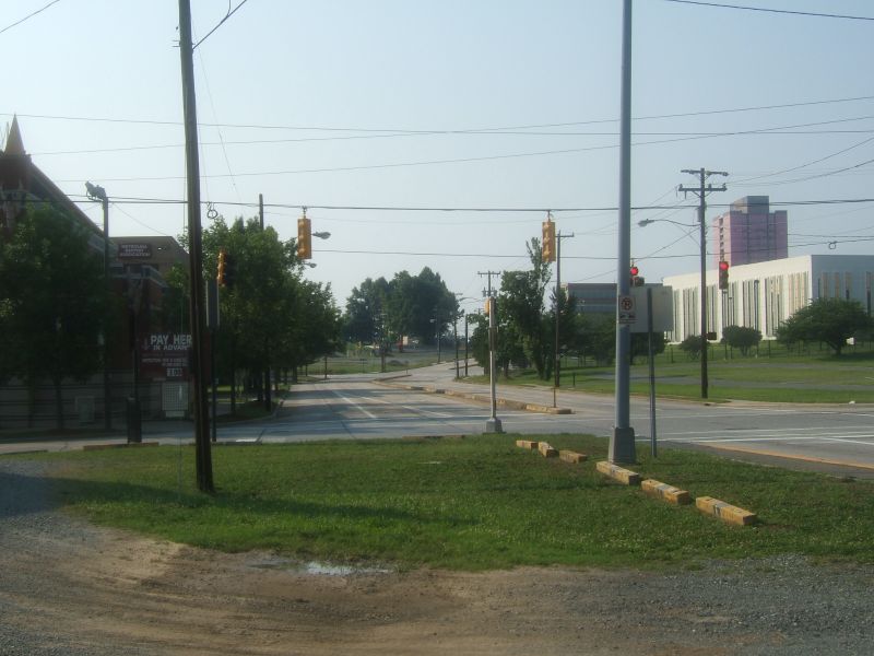
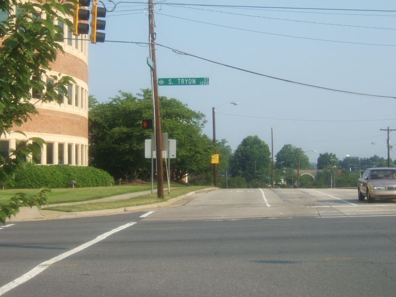
| From here Carson Blvd. follows what was West Independence Blvd. The best clues to that you are on old West Independence is that the original concrete pavement is still in use. From Mint St., we'll head past Church St. to Tryon St. At Tryon St., West Independence would become South Independence Blvd. |
 |
Left Image: Looking east from
Mint St. towards Church St.
Right Image: From Tryon St. looking west towards Church St. |
 |
 |
Left Image: At the Carson Blvd.
- Church St. intersection, a close look at the original pavement and concrete
divider that was put in when the highway was reduced to four lanes.
Right Image: Looking westwards at Tryon St., the original pavement returns. It will continue that way until Mint St. |
 |
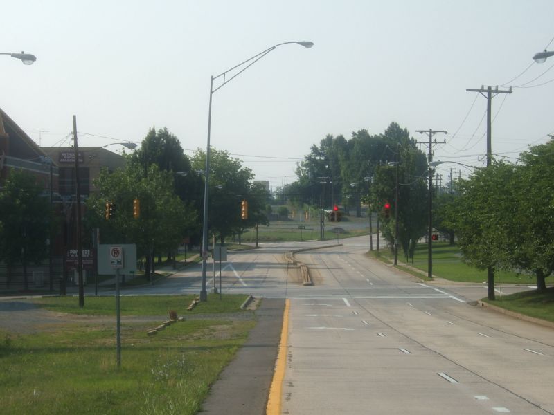
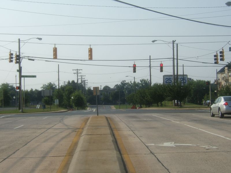
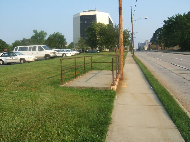
| Between Tryon and South Blvd. more changes has been made to the original Independence. The former six lane right of way has been squeezed into three lanes. With former lanes now reclaimed for future real estate development. From here, a left turn onto South Blvd. continues South Independence. |
 Looking
east from Tryon St., former South Independence squeezes to three lanes. Looking
east from Tryon St., former South Independence squeezes to three lanes. |
 Carson
Blvd. ends at South Blvd. A left turn follows the path of South Independence. Carson
Blvd. ends at South Blvd. A left turn follows the path of South Independence. |
 Looking
up the hill and west on Carson Blvd. Looking
up the hill and west on Carson Blvd. |
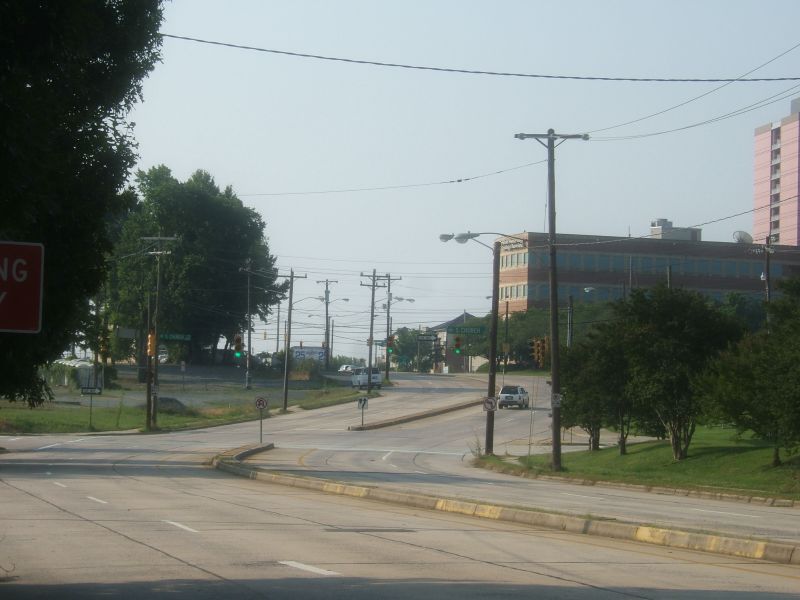
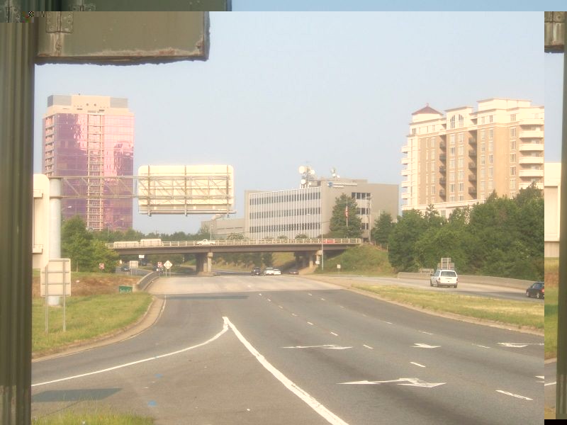
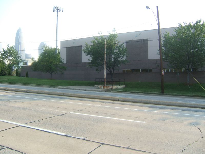
| Along South Blvd. is where the former grade separated interchange between South and Independence once stood. There really isn't any trace of the old interchange remaining. Now, a totally different interchange between South Blvd. and Interstate 277 exists. As well, the cityscape of Charlotte has gone through drastic changes through here as well. |
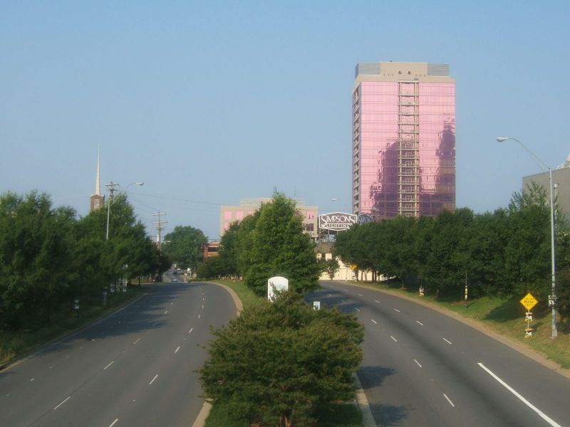 Looking
south on South Blvd. The pink building is The
Arlington Apartments. Looking
south on South Blvd. The pink building is The
Arlington Apartments. |
 Morehead
St. goes over South Blvd. which it also did with Independence Blvd. Morehead
St. goes over South Blvd. which it also did with Independence Blvd. |
 From
the Morehead St. overpass, South Blvd. crosses I-277 towards Stonewall. From
the Morehead St. overpass, South Blvd. crosses I-277 towards Stonewall. |
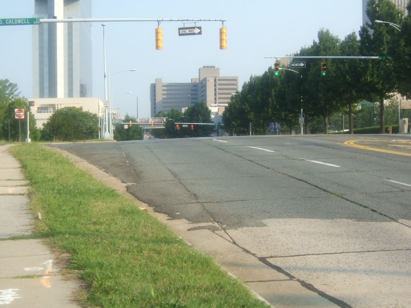
| Where South Blvd. meets Stonewall and Caldwell, Independence had made its big sweeping curve to the right (eastbound). You wouldn't notice it unless you look closely, but the details of the curve still exist. |
 |
Left Image: South Independence
would have curved onto what is now Stonewall St. here. The cracks
in the asphalt pavement shows the alignment of the former curve.
Right Image: Looking down Stonewall towards McDowell St. You can see how the curve straightened out here. |
 |
 |
Left Image: From Stonewall
looking at Caldwell and South Blvd. Since we are facing the opposite
direction, South Independence would have curved left here. Today,
you can not make the left hand turn onto South Blvd. as traffic is one-way
in the opposite direction. The tall building in the background in
the Westin
Charlotte that opened in 2002.
Right Image: A closer look at the curve and asphalt pavement meeting the original concrete from Stonewall. |
 |
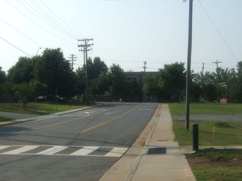
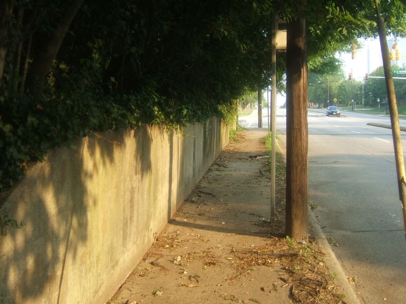
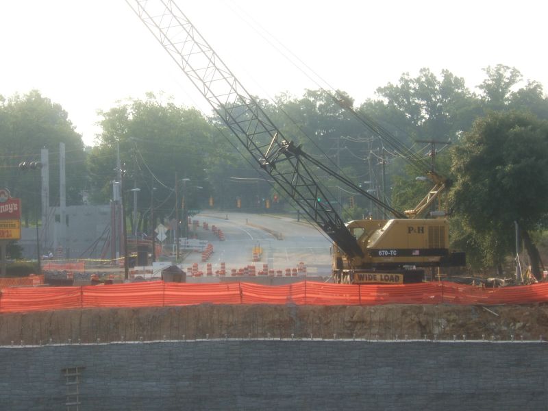
| From Caldwell towards I-277 and Kenilworth, Stonewall St. follows the route of South Independence. Here some great clues of the old highway still exist. First, a sealed off pedestrian tunnel sits near McDowell St. Near I-277, former retaining walls, driveways, and concrete stairs of an old city neighborhood that was torn down in the 1960s. In August of 2006, some of these walls were being removed during a reconstruction project of the I-277 interchange. Fortunately, they were still up when Chris went by. |
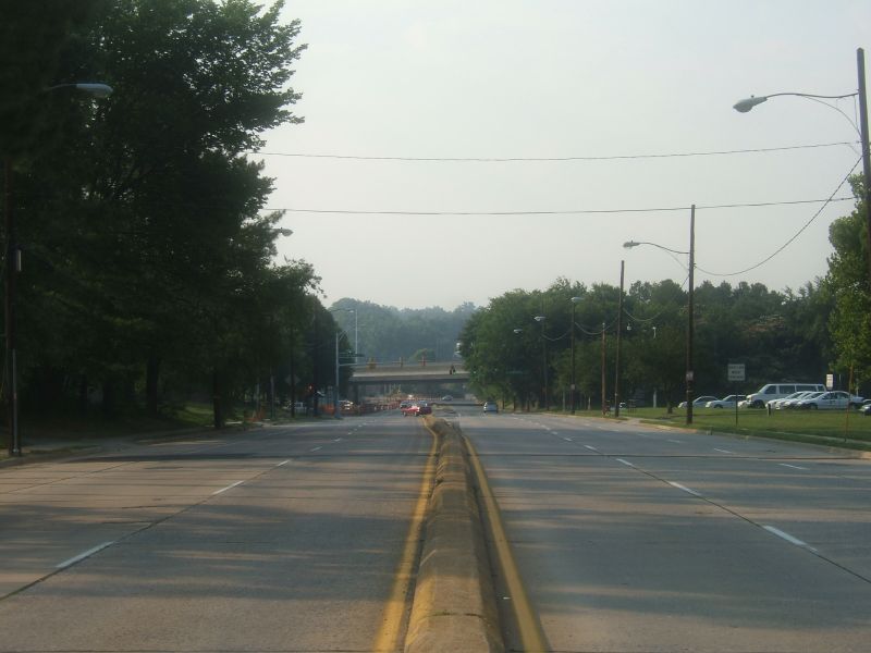 |
Left Image: Looking East on
Stonewall towards I-277.
Right Image: Looking west towards McDowell at where the former pedestrian tunnel sits. |
 |
 |
Left Image: A close shot of
the boarded up access to the pedestrian tunnel.
Right Image: On the opposite site of the street, the other tunnel entrance. It is not known how long these tunnels have been closed or what they may have connected to. |
 |
 |
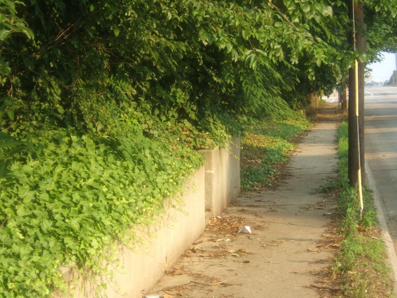
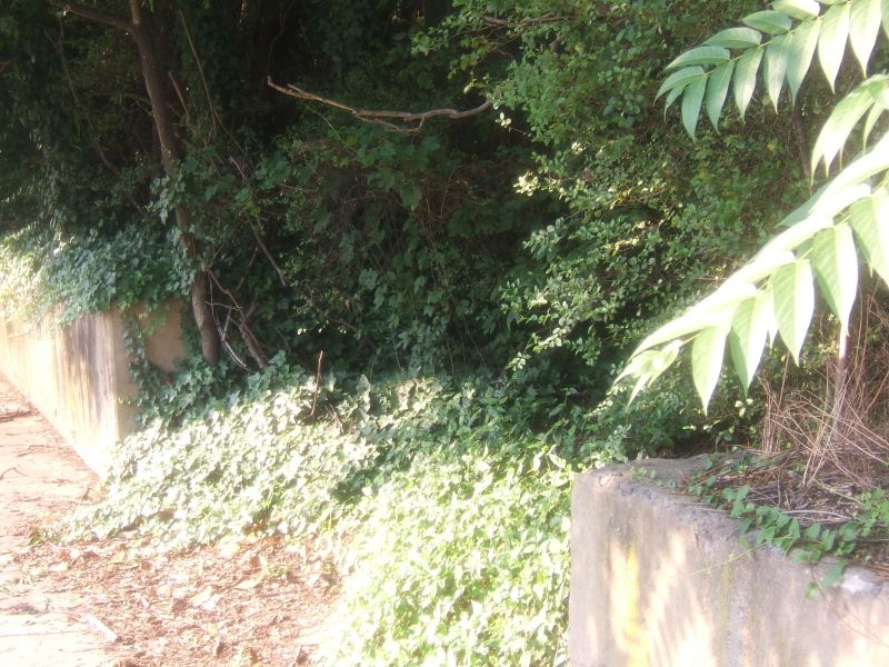
Left Image: Near the Stonewall
and I-277 interchange, a former retaining wall and sidewalk sit.
Right Image: A break in the retaining wall contain steps to a former residence or business. |
 |
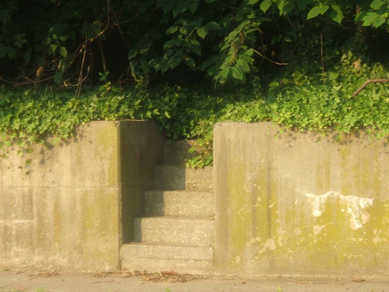 |
Left Image: A close view of
one of the abandoned staircases and the overgrowth surrounding it.
Right Image: A former driveway entrance totally consumed by vegetation overgrowth. |
 |
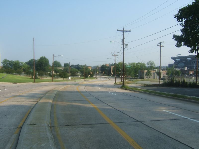
| Just past I-277 where Kenilworth Ave. takes over for Stonewall St., the name of South Independence Blvd. reappears. South Independence crosses over Sugar Creek and past the former site of Charlottetown Mall known later as Midtown Square. Today, more changes are taking place to South Independence as the bridge over Sugar Creek is being totally replaced and the former Midtown Square site will be the home of a new residential and retail development called "The Metropolitan." |
 |
Left Image: From Kenilworth
Ave., construction is ongoing on the new Sugar Creek Bridge for South Independence
Blvd. South Independence at Kings Drive can be seen in the background.
Right Image: Looking down Stonewall from the end of South Independence at the Interstate 277 interchange. |
 |
 |
Left Image: From the opposite
bank of Sugar Creek, a look from Kings Drive toward the end of South Independence
and the I-277 Interchange.
Right Image: When the bridge replacement project is completed, this will be the new end of South Independence Blvd. |
 |
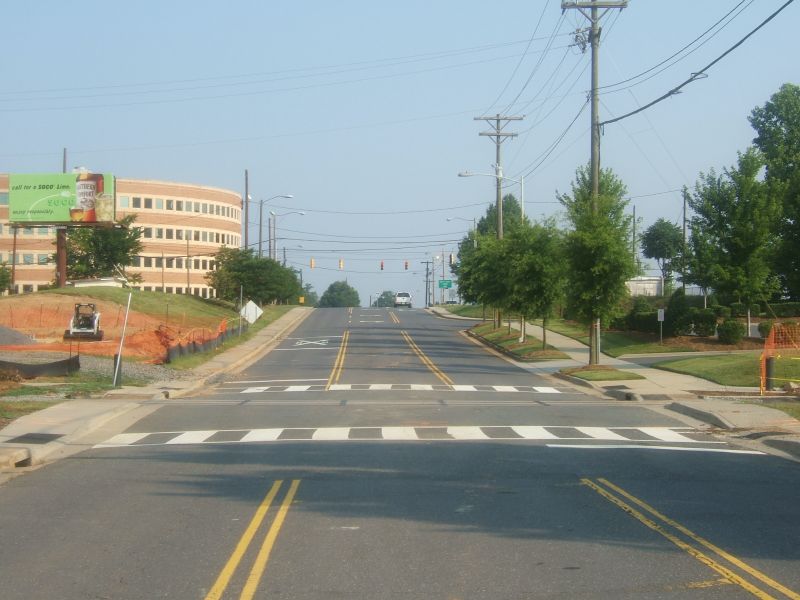
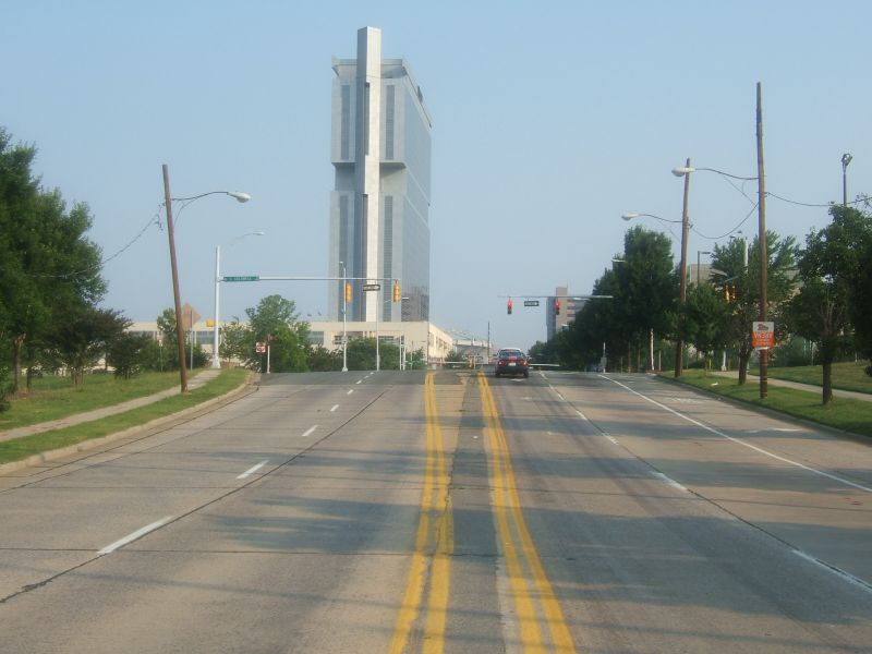
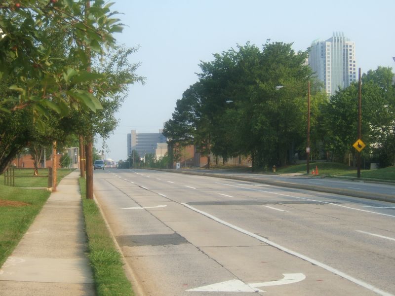
| To conclude the tour of Old Independence, we follow Independence Blvd. from Kings Drive to the Independence Freeway. Here, Independence has a more active urban feel with many retail stores and restaurants. It ends at a traffic light at 7th Street, as continuing straight puts you on the Independence Freeway. |
 |
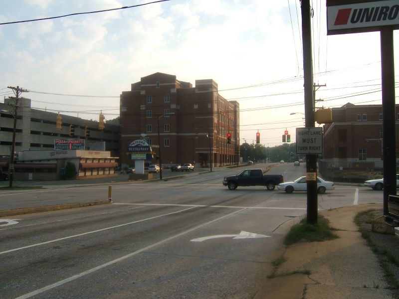
Left Image: Looking west from
3rd Street down the hill towards Kings Drive.
Right Image: From 3rd Street looking east towards Fourth St. |
 |
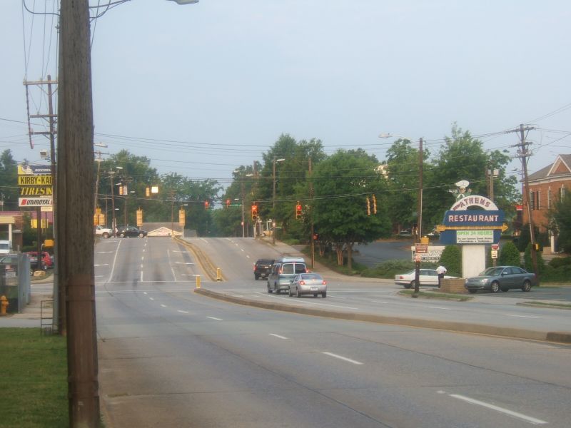 |
Left Image: Looking west, 4th
Street is in the foreground as Independence heads towards 3rd.
Right Image: The Athens Restaurant at Independence and 4th Street was a Charlotte landmark for 45 years. On September 30, 2006, this staple of Charlotte's past closed its doors to make way for an expanding Central Piedmont Community College campus. The owners of the Athens hope to revive the restaurant at a new nearby location. |
 |
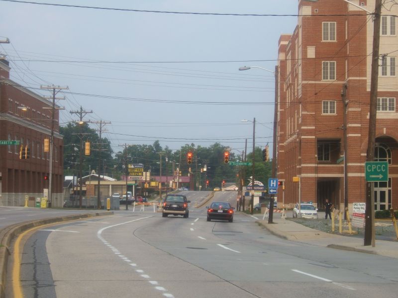 |
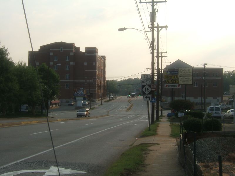
Left Image: Looking west at
Elizabeth Avenue.
Right Image: East Independence Blvd. begins at 7th Street. Here is a look at the original concrete just beyond 7th Street looking west towards Elizabeth Ave. |
 |
 |
Left Image: We end our tour as East Independence meets 7th Street at a traffic light. The ramps connect Independence to the freeway that shares its name, the Independence Freeway. |
| Site Navigation:
Sources & Links:
Page Created: October 13, 2006
© 2006 William Lawson |