 |
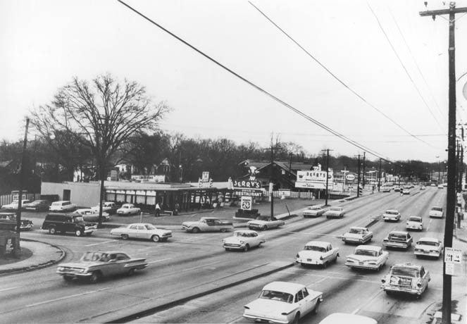
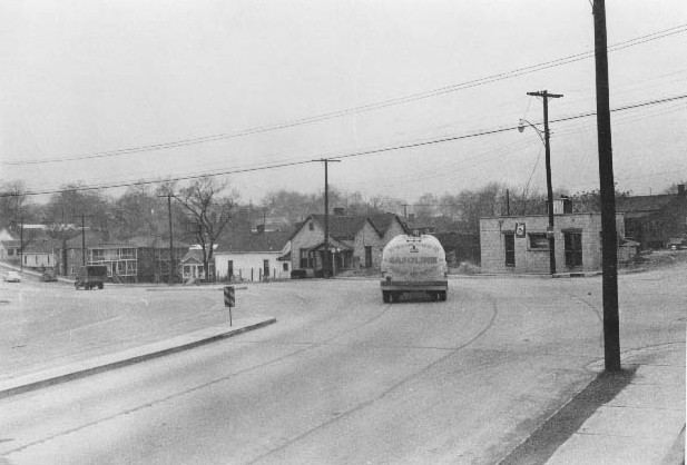
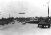
Jerry's drive-in Restaurant was located on
Independence Boulevard at the intersection of East Fourth Street near Elizabeth
Avenue. Image courtesy of the Robinson-Spangler Carolina Room – Public
Library of Charlotte and Mecklenburg County. |
 |
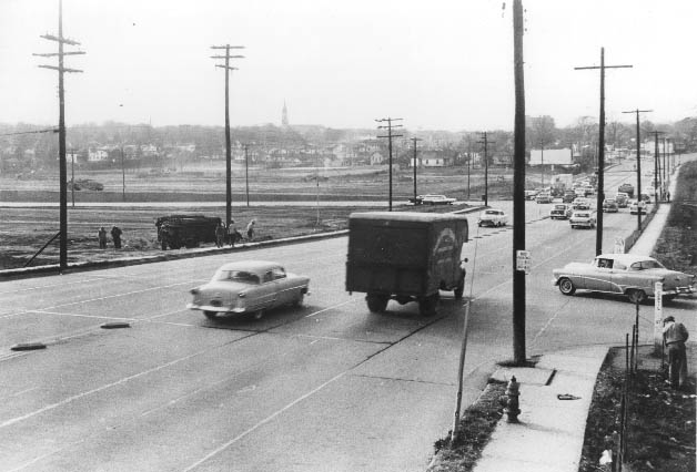
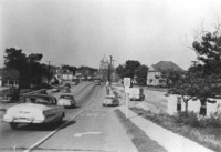
Independence Boulevard looking east through
Old Thompson Orphanage Farm past Sugar Creek toward Cecil Street (now Kings
Drive.) Image courtesy of the Robinson-Spangler Carolina Room – Public
Library of Charlotte and Mecklenburg County. |
 |
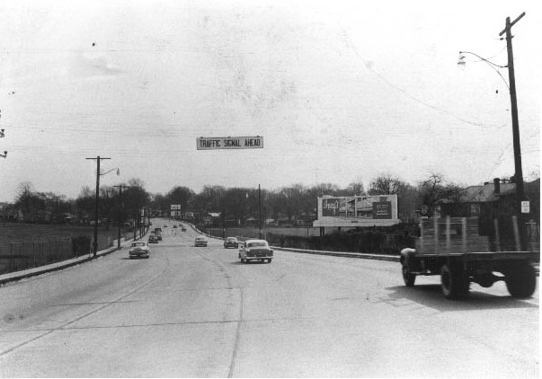
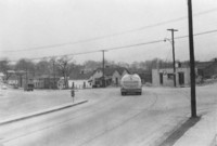
Independence Boulevard as it crossed the
Thompson Orphanage Farm. Much of the Thompson Orphanage Farm is now
on the grounds of Central Piedmont Community College's Central Campus.
Image courtesy of the Robinson-Spangler Carolina Room – Public Library
of Charlotte and Mecklenburg County. |
 |
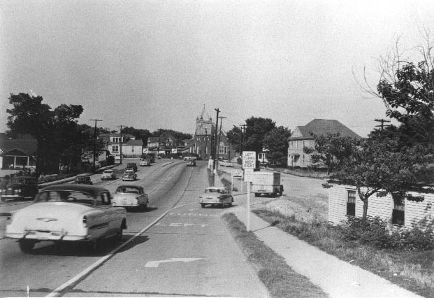
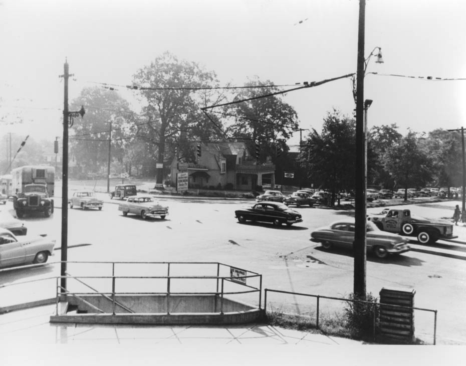
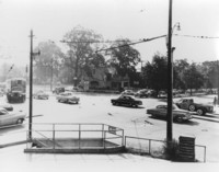
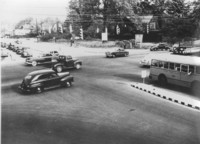
Independence Boulevard looking north from
Morehead Street toward the Caldwell Street connector on the right and the
intersection in the center. Stonewall Avenue did not cross through at this
time. Image courtesy of the Robinson-Spangler Carolina Room – Public
Library of Charlotte and Mecklenburg County. |
 |
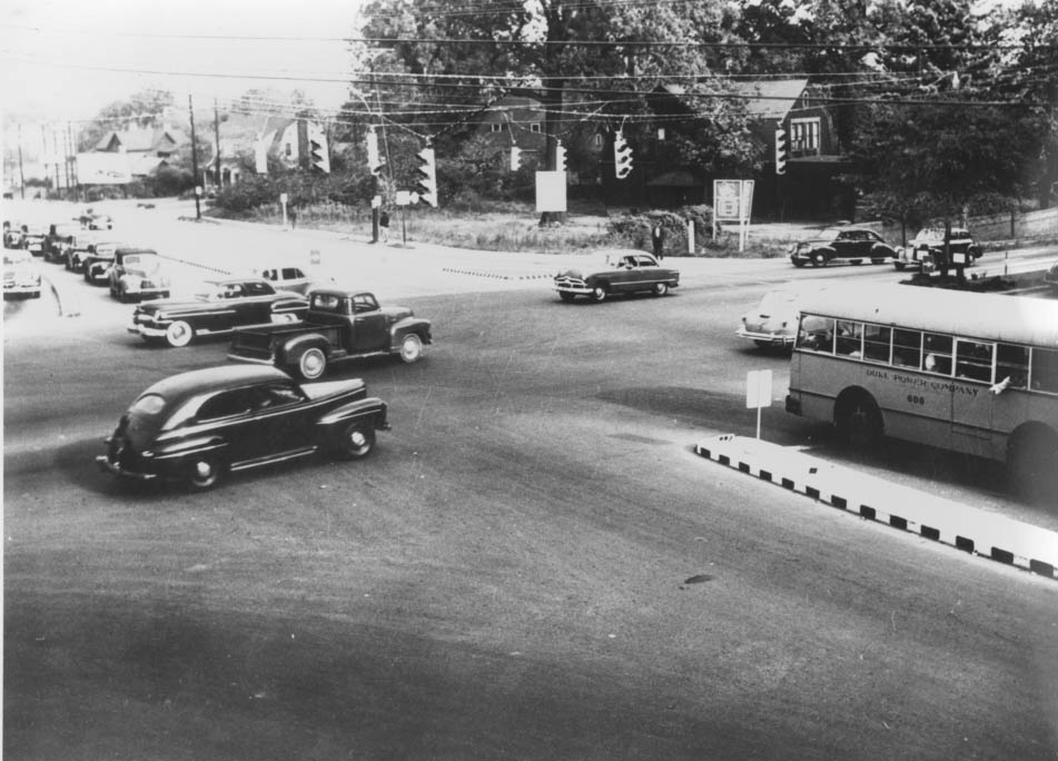
Independence Boulevard curving past Caldwell
Street and heading toward Morehead Street. Image courtesy of the
Robinson-Spangler Carolina Room – Public Library of Charlotte and Mecklenburg
County. |
 |
Photograph of the northeast corner of Morehead
and Independence Blvd. The restaurant on the corner was formerly the home
of Stuart W. Cramer. Image courtesy of the Robinson-Spangler Carolina
Room – Public Library of Charlotte and Mecklenburg County. |
 |
The intersection of East Morehead Street
when it crossed Independence Boulevard. The picture captures what buildings
could be seen looking northeast. The Stuart W. Cramer's House on the corner.
Image courtesy of the Robinson-Spangler Carolina Room – Public Library
of Charlotte and Mecklenburg County. |