The National Road:
Washington to West Virginia Line
This stretch runs
through the rolling hills of Washington County, past numerous farmhouses,
visits Claysville and keeps history intact. It leaves Washington
and begins to climb over Lincoln and Sugar Hills to begin US 40's transition
from a road of early American History to a road of Modern American history.
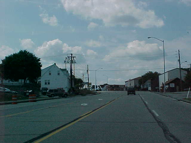
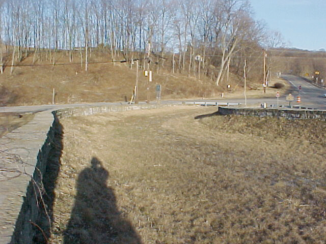
US 40 East at the crest
of Lincoln Hill. (Mike Austing)
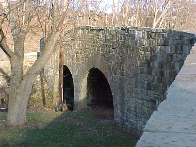
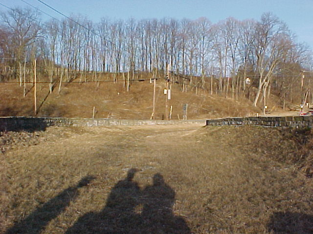
At the intersection
of PA 221 and US 40 east of Claysville, one of the original National Road
'S' bridges remains intact. The bridge, constructed in the early
1800's, has been incorporated into a local roadside park.
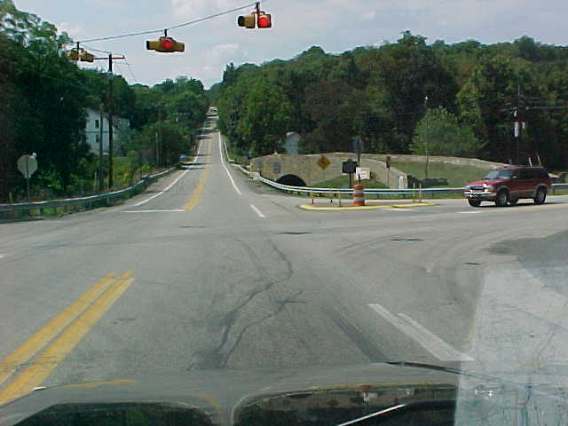
Looking West on US
40. The 'S' Bridge sits directly in front of you as PA 231 intersects.
(Mike Austing)
More photos of
the 'S' Bridge in the direct links below:
The dual arches
that support the bridge. (Bee Family)
Looking East from
the bridge towards Route 40 (Bee Family)
An idea of the
width of the bridge. (Bee Family)
The town
of Claysville
has existed along the National Road since 1817. Named after Henry
Clay, the town's Main Street is US 40; it is lined with older homes mixed
with a variety of small businesses and restaurants.
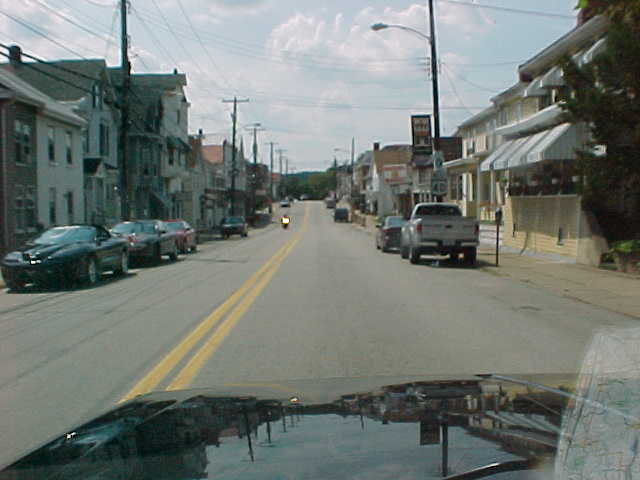
US 40 West in Claysville
(Mike Austing)
For travelers wanting
to trace the original routing of US 40 or the National Pike, an original
alignment splits into the town of West Alexander and rejoins US 40 in West
Virginia.
Continuing on the Trail:
East To Uniontown
West into West Virginia
National
Road Photo Essay Index
Site Navigation, Sources
& Links:
The
SWPA Roads Project
US
40 @ PAHighways.com ---Jeff Kitsko
Route
40 Net ---Frank Brusca
Barb
and John Bee
Mike Austing
Page Created: April 1, 2002
Last Updated: November 16, 2002
(C) 2002 William Lawson