Carolina Lost: I-85 Connector Ramps - Gastonia
When Interstate 85 was extended westwards into Gaston County from Charlotte in 1962, it would come to a temporary end between New Hope and Cox Roads.  Traffic at that time  was funneled onto a connector highway that moved traffic onto Franklin Blvd. (US 29/74)  When I-85 was completed through Gaston County in 1965, the connector ramps remained open to traffic.  Nearby interchanges with Cox Road to the east and New Hope Road to the west were half diamond interchanges.  (See Map at Right).

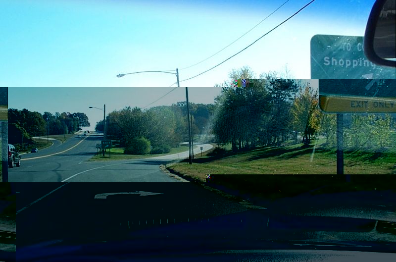
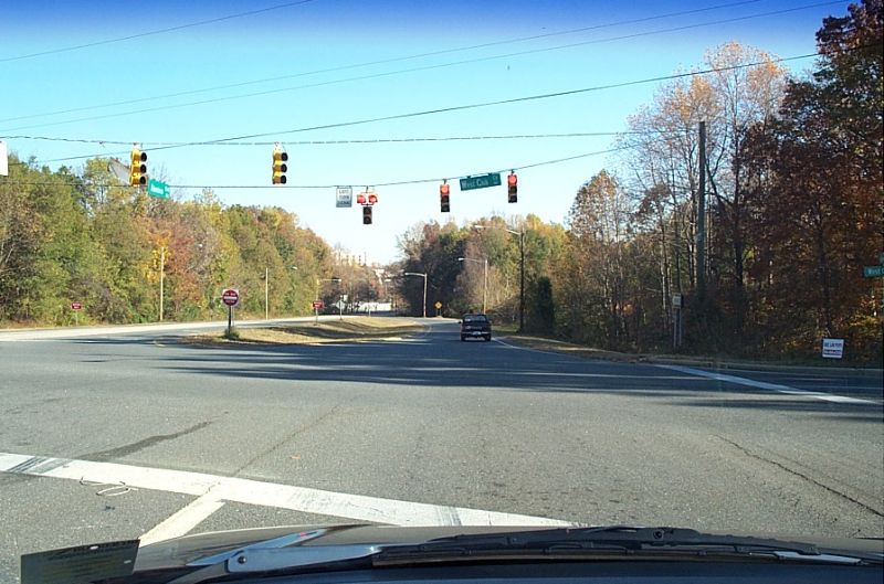
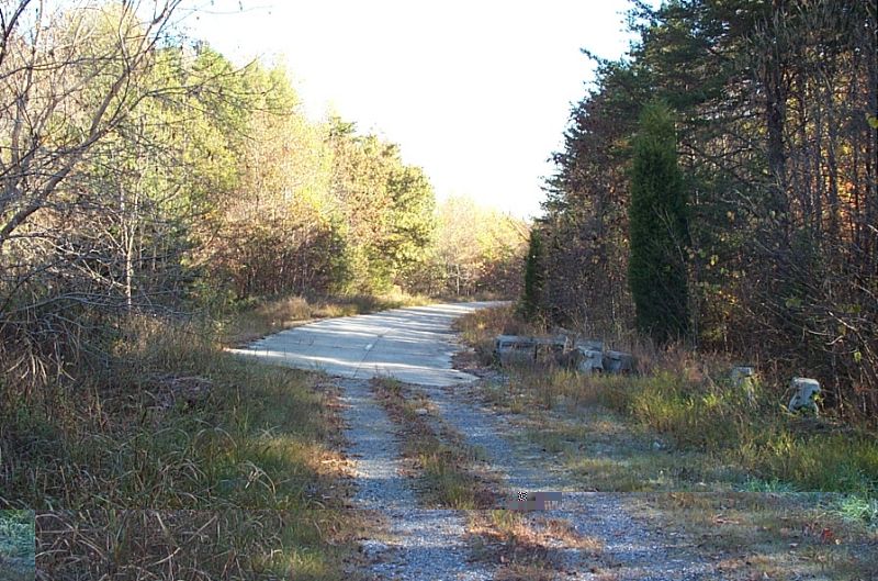
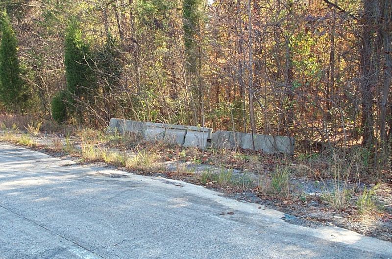
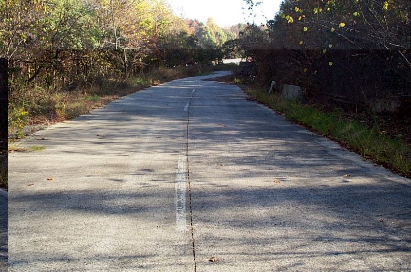
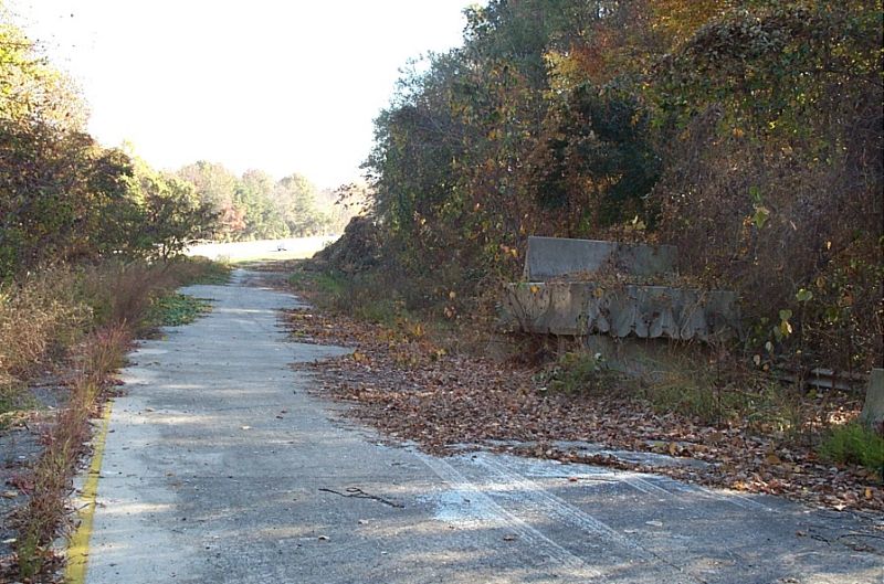
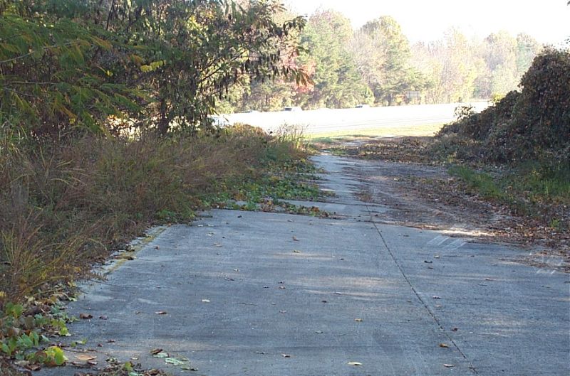
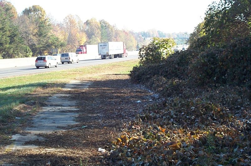
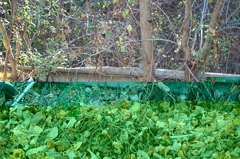
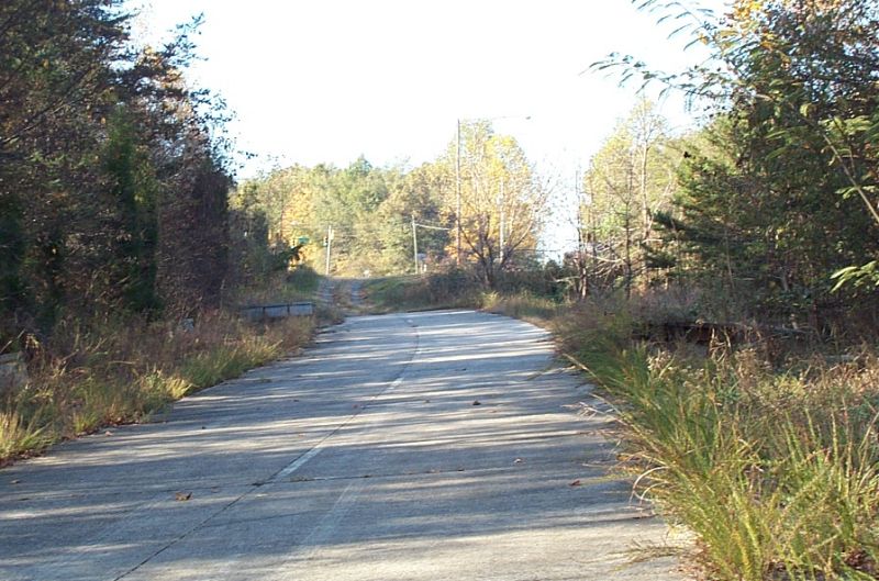
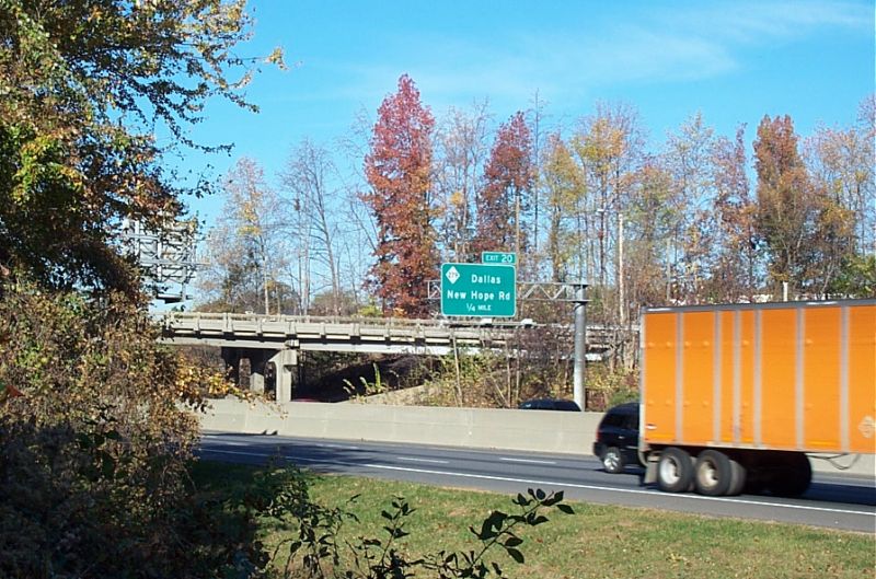
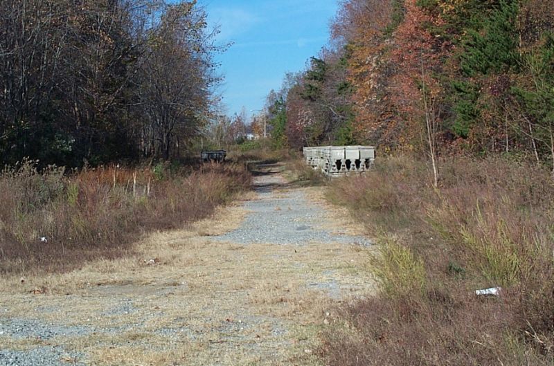
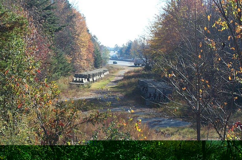
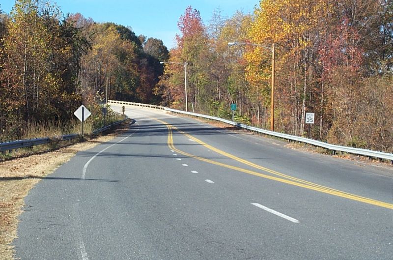
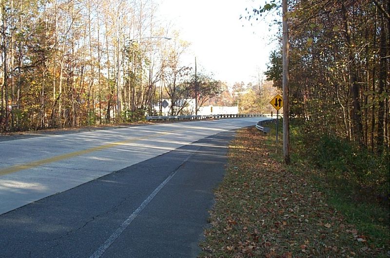
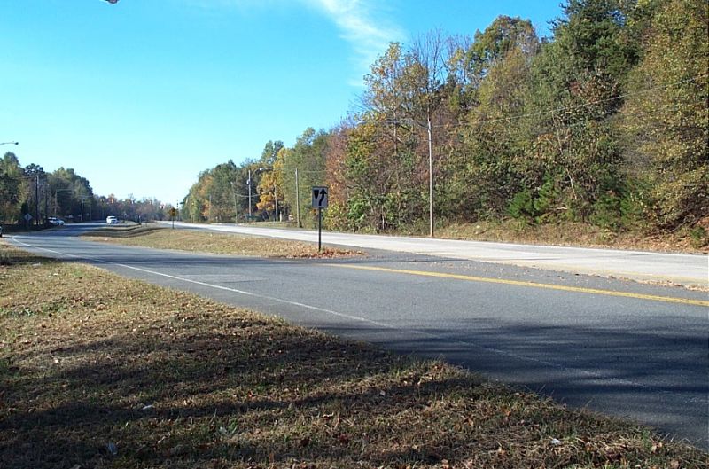
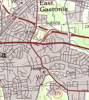
In the early 1990s, NCDOT widened I-85 through Gastonia to six lanes, as part of this massive overhaul to the highway.  The New Hope (Exit 20) and Cox Road (Exit 21) interchanges were reconstructed into full diamonds.  The Gastonia Connector Interchange was eliminated.  The former connector -- now Aberdeen Blvd. -- serves as an access road from Franklin Blvd. to Eastridge Mall and Cox Road.  With the exception of the ramps on and off I-85, you can still travel the connector today.  Motorists can still see remnants of the ramps right-of-way from Interstate 85 and the former connector.

1991 USGS Map Orientation:  Interstate 85 is the top thick red line running from the top left corner to the right. 
Franklin Blvd. (US 29/74) runs left to right in the center of the image. 
The NC 279 New Hope Road exit is to the left of the connector and the Cox Road interchange is to the right.

All photos on this page taken by Chris Curley; November 2005

1991 USGS

What : Former I-85 Connector Ramps
Where: Gastonia
Accessibility: Moderately Difficult
Please use mall access road not I-85


Entrance to the connector from Franklin Blvd. (US 29/74) After the connection to I-85 was closed.  The road was widened to four lanes. The on-ramp to I-85 North.  Two lanes of traffic flowed onto the Interstate.
Concrete barriers are still located off the shoulder. The original pavement markings can still be found on the ramp! Over- growth and concrete barriers as the ramp curves towards I-85 North.
The pavement begins to disappear closer to I-85. The former ramp fades into memory as traffic speeds by on I-85. Original guard rail still in place.
Looking back to Aberdeen Blvd. from the on-ramp. The overpass that once carried connector traffic over the Interstate. Traffic exiting I-85 South would use this ramp to the connector.
Looking back at I-85 South and the Connector off-ramp. Looking at the connector overpass from the off-ramp. Traffic on the bridge used to be two lanes coming towards the photo- grapher.
Looking towards Franklin Blvd.  The concrete roadway is the original connector.

Site Navigation:
  • Return to Carolina Lost: Roads Index
  • Return to Carolina Lost Index
  • Return to All Things NC! Index

  •  


    Sources & Links:

  • Chris Curley
  • Interstate 85 @ NCRoads.com ---Matt Steffora
  • Interstate 85 @ interstate-guide.com ---Alex Nitzman/Andy Field

  •  


    Page Created: January 8, 2006
    Last Updated:  September 24, 2006

    © 2006 William Lawson