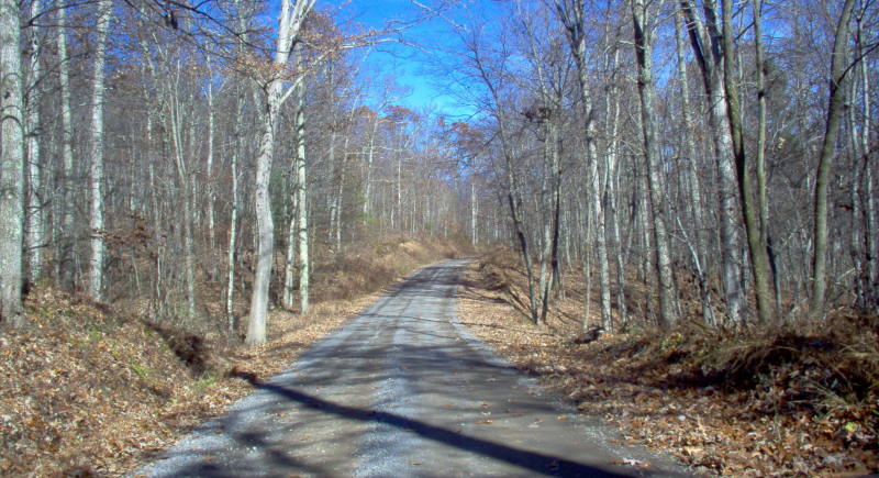
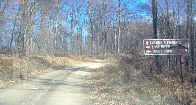
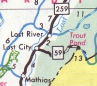
Former WV Route 59 is a sleepy mountain road that ran from Lost City east through George Washington National Forest to the Virginia State Line.  WV 59 was unique that much of its route was unpaved.  (As detailed in the 1987 map at right.)  WV 59 would be decommissioned after 1993.  Maps as late as the 2007 Rand McNally incorrectly show WV 59 existing.  Even the 2004 WVDOT Hardy County Map still shows WV 59 as active.  Today, the former WV 59 can be traced by following Hardy County Route 59 from WV 259 in Lost City.

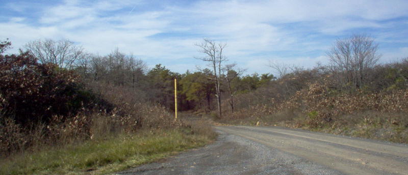
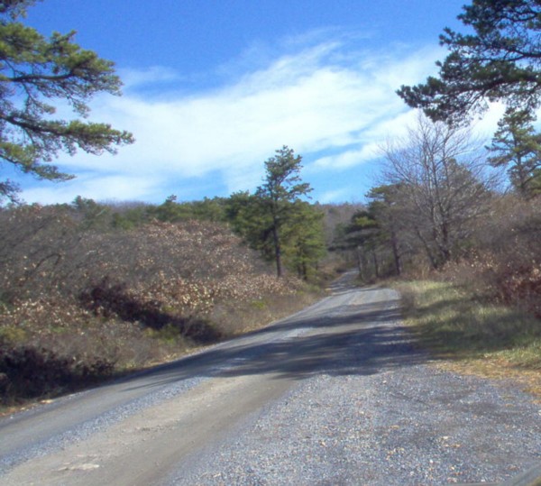
Later, maps in the early 1990s would show that the entire route was paved; however, those maps would be incorrect as much of the highway is still unpaved.  After the first three miles east, the former WV 59 turns from a paved route to a one lane gravel highway all the way to the Virginia border. 

1986-87 WVDOH


(Mike Roberson)
Hardy County 59, formerly WV Route 59, begins its journey as a gravel road.


(Mike Roberson)

Further ahead, a white on brown National Forest guide sign appears.  Columbia Furnace is in Virginia.


(Mike Roberson)

At the state line looking into West Virginia.  The yellow pole may have once possibly announced that you were entering Virginia or at the least entering Shenandoah County, Virginia.


(Mike Roberson)

Again, at the state line.  This time looking into Virginia.

Site Navigation:
  • Return to the Decommissioned WV Routes Index

  • Sources & Links:

  • H.B. Elkins
  • Mike Roberson
  • WV 59 @ The WV Highways Page ---H.B. Elkins
  • VA 59 @ The VA Highways Project ---Mike Roberson/William Froehlig

  • Page Created: February 25, 2007
    Last Updated: February 28, 2007

    © 2007 William Lawson