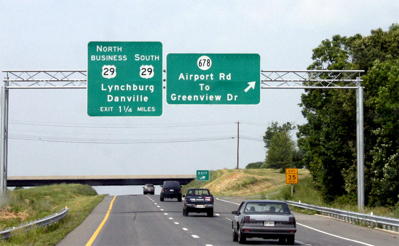
The Seminole Trail: Lynchburg

Lynchburg is known as "The City of Seven Hills," and it is here where US 29 goes from a rural piedmont highway to hugging the eastern slopes of the Blue Ridge Mountains.  US 29 has a colorful past in the Lynchburg area.  Now, US 29 has a new chapter added to its Lynchburg story, the Madison Heights Bypass has moved US 29 east of the city and off the 1960s era Lynchburg Expressway.  This along with the upgrading of the Danville Bypass are the first two modernization projects for US 29 that may lead to an Interstate designation.  Many residents of Lynchburg had voiced their concern that the new highway will take away from traffic from downtown Lynchburg. (1)
US 29 North is about to join the 
Lynchburg Expressway and US 501.

The Northern Terminus of
US 221 is at US 29 and the
Lynchburg Expressway.
(Exit 3A)
The Lynchburg Expressway began in the 1950s and was built in bits and pieces until a formal completion in the early 70s.  It was at this time when what was once US 29 Alternate, one of the early original routings of US 29 through town, became the current US 29 Business.  This route follows Wards Rd, Fort St., Madison Heights.  Prior to that, another Alternate US 29 took motorists along 12th and Main St. through Downtown Lynchburg, before joining US 29 on the South Shore of the James.  This route existed from the mid-1940s to the early 1950s, when the first parts of the Lynchburg Expressway were being built and opened.  Some of VA 128 has taken over the original route. The Lynchburg Expressway is somewhat different than most non-Interstate Freeways/Expressways in the Commonwealth.  It employs sequential exit numbers on its entire length. (See photos left and right)  The Expressway also carries separately, US 501, to the west of the city.  US 29 through Madison Heights is heavily congested and has numerous stop lights and strip malls.
The Madison Heights bypass routes US 29 to the south and east of Lynchburg and ties back into current US 29 at the southern end of the Amherst Bypass.  The first two mile segment of the road opened in late December of 2004 (2).  Introduced in segments, the highway was completely opened to 
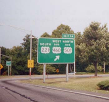
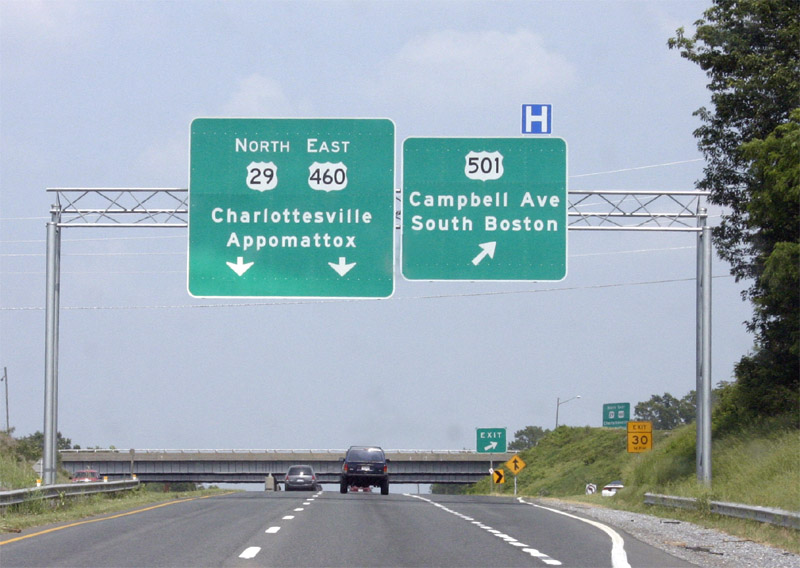
traffic on October 6, 2005.  US 29 now joins US 460 at the Ward Road interchange, heads east with US 460 and then turns north on its own alignment near the Campbell/Amherst County Line.  The new freeway includes connections with the Lynchburg Expressway.  Plus, VA 130 and VA 210 has been extended to meet the new road.  The Madison Heights Bypass was included in the 1990 expansion of the Virginia Arterial Highway System.

The proposed South Lynchburg Bypass would carry US 29 on a new alignment from US 460 south and westwards to where VA 24 meets US 29.  The state filed a letter of intent for an Environmental Impact Study with the EPA in February of 2002. (4)  The study consists of "...combination of improvements including the construction of a four-lane divided limited access highway on new location and the improvement of existing facilities. Where alternatives overlap existing Route 460, a six-to-eight lane typical section on Route 460 would be necessary. The length of the proposed improvement ranges from 12.8 miles to 21 miles depending upon the alternative being considered." (4)  If completed, the South Lynchburg Bypass will take US 29 traffic away from a very congested route that currently consists of five traffic signals between VA 24 and US 460.  South of VA 24 to the NC line there is only one traffic signal on US 29.

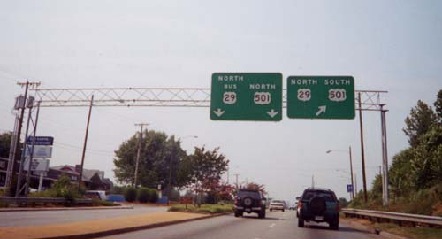
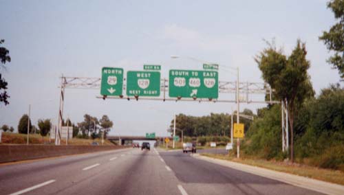
Two views of US 29 at the southern end of its new alignment on US 460 in Lynchburg. (Bill Manning)


Site Navigation:
  • North Heading to Charlottesville
  • South Towards Danville
  • US 29 Index
  • Old Dominion Roads Index

  • Sources & Links:

  • (1) City of Lynchburg. "Chapter 14: Transportation, City of Lynchburg Master Plan." The City of Lynchburg, Virginia.http://www.ci.lynchburg.va.us/CompPlan/documents/Ch%2014%20Transportation.pdf (February 2, 2003)
  • (2) Brown, Rob. "Section of U.S. 29 Bypass opens." Lynchburg News Advance. December 22, 2004.
  • (3) Brown, Rob and Smith, Zack. "Open for traffic." Lynchburg News Advance. October 7, 2005
  • (4) U.S. Environmental Protection Agency. "Environmental Impact Statement: Campbell County, VA and City of Lynchburg." http://www.epa.gov/fedrgstr/EPA-IMPACT/2002/March/Day-04/i5005.htm(Feb. 4, 2003)
  • Michael Tantillo
  • US 29 @ The Virginia Highways Project ---Michael Roberson & William Froehlig
  • US 29 Lynchburg/Madison Heights Bypass ---Bruce Harper

  • Page Created: February 5, 2003
    Last Updated: March 15, 2008

    © 2003-08 William Lawson