The National Road:
Brownsville
"Ghosts of 'The Neck'"
At one time, 'The
Neck' was the lifeblood of Brownsville and the National Road. 'The
Neck,' a stretch of flat land along the Monongahela between the Lane Bane
and Intercounty Bridges, was dominated by Market Street. Market,
which parts of the original and later alignments of the National Road and
US 40 would follow, slopes down from ridge that carries Front, Market and
Church Streets to Dunlaps Creek. (1) It was here where
most of the commercial and retail activities occurred. However, with
the fall of the steel industry, 'The Neck' and Market Street has become
a skeleton of the past, a modern day ghost town.
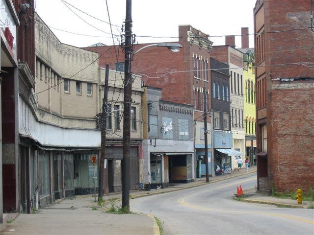
Looking up Market Street
and leaving 'The Neck'. (Brian Reynolds)
Today, Market Street
is home of empty or boarded up storefronts, washed away advertisements,
and faded memories.
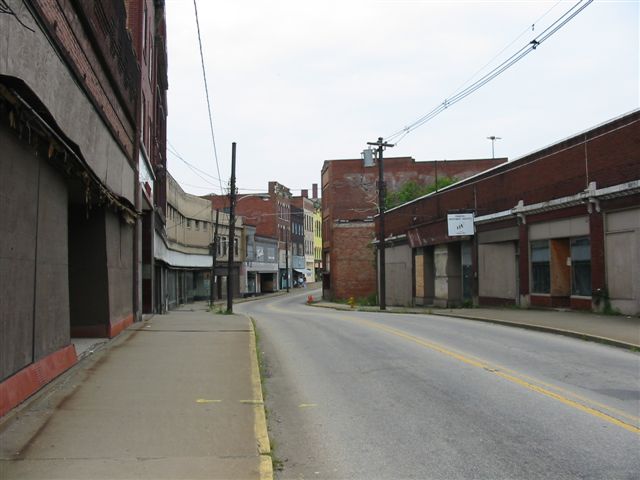
A longer view of Market
Street and the abandoned buildings in 'The Neck.' (Brian Reynolds)
Many proposals
have come and gone to revitalize the city. From riverboat gambling
to pushing for the completion of the Mon-Fayette Expressway, Brownsville's
residents and leaders hope to return the city to its former glory.
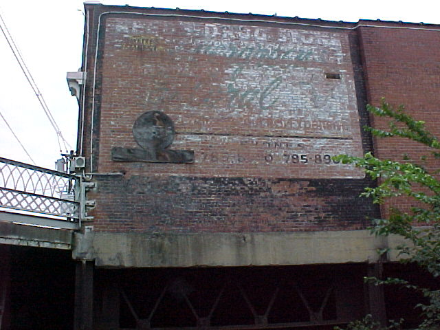
A weathered drug store
ad, one of many that were painted on building along Market Street.
(The Bee Family)
Brownsville Tour:
Dunlap's Creek
Bridge
Intercounty Bridge ---In Development
Abandoned US 40 Freeway
Return To Brownsville
Tour Index
Site Navigation, Sources, Contributors,
and Links:
Return
To National Road Photo Essay Index
The
SWPA Roads Project
Brownsville,
PA ---Cassandra's House (1)
US
40 @ PAHighways.com ---Jeff Kitsko
Route
40 Net ---Frank Brusca
The
Bee Family
Brian Reynolds
Page Created: October 5, 2002
Last Updated: October 5, 2002
(C) 2002 William Lawson