 |
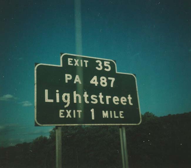
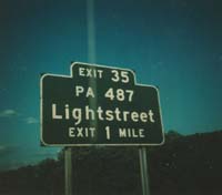
Button Copy Text BGS for PA 487 (Exit 35)
on I-80 East; Lightstreet. Photo taken by Michael Summa; 1979.
Exit 35 changed to Exit 236 in 2001. |
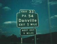 |
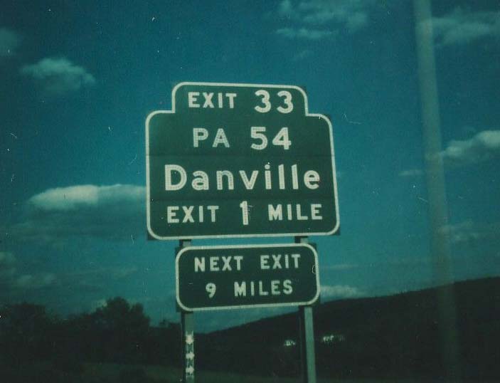
Button Copy Text BGS for PA 54 (Exit 33)
on I-80 East; Mausdale. Taken by Michael Summa; 1979. In 2001,
Exit 33 became Exit 224. |
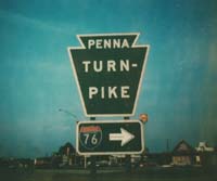 |
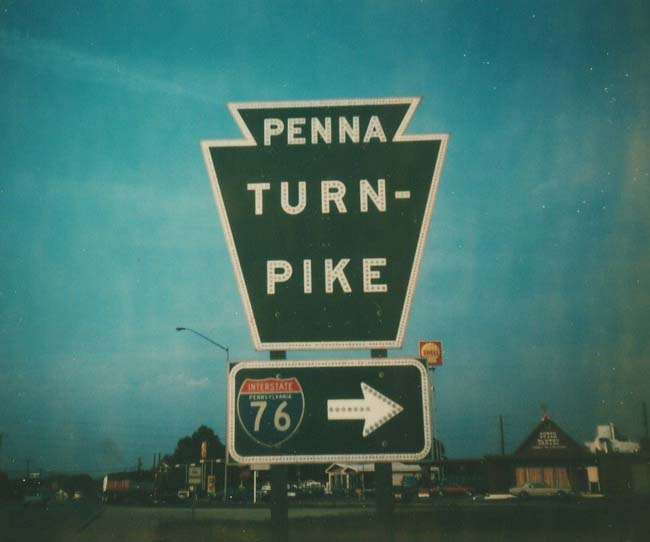
Button Copy Pennsylvania Turnpike Entrance
BGS on US 11; Carlisle. Photo taken by Michael Summa; 1979.
In some locations these giant button copy still exist, many others have
been replaced with reflectorized sheathing versions. |
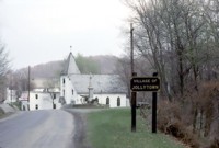 |
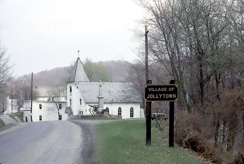
 Yellow
on dark blue 'Village of Jollytown' town line sign. Photo taken
by Fred Yenerall; April 1977. Unlike keystones, there are not many
of these signs left in the state. Here is one still
standing in Erie County in 2006. Yellow
on dark blue 'Village of Jollytown' town line sign. Photo taken
by Fred Yenerall; April 1977. Unlike keystones, there are not many
of these signs left in the state. Here is one still
standing in Erie County in 2006. |
 |
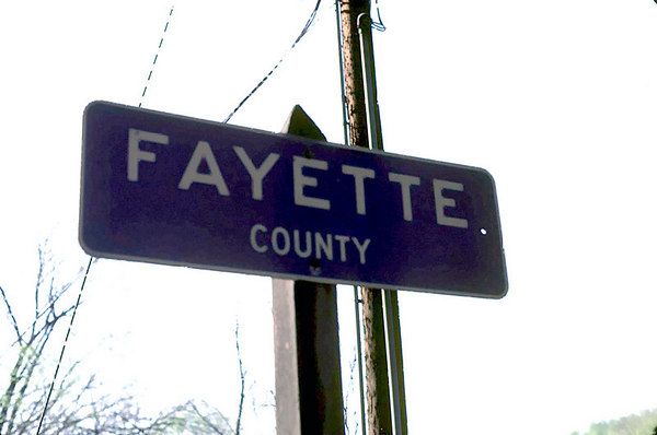
Yellow
on dark blue Fayette County line sign. Photo taken by Fred Yenerall;
April 1977. |
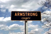 |
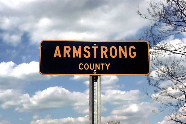
Yellow
on dark blue Armstrong County line sign. Photo taken by Fred Yenerall;
May 1976. |
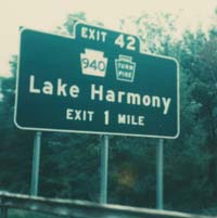 |
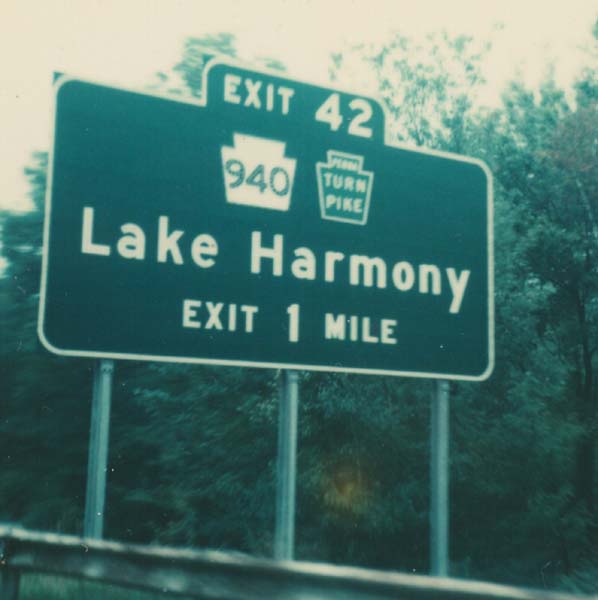
Button Copy BGS for PA 940/PA Turnpike (Exit
42) on I-80 West; Lake Harmony. Photo taken by Michael Summa; 1976.
This specific sign has been replaced. But other signs from this era
still exist approaching the interchange. Example.
The interchange number was also changed to Exit 277 in 2001. |
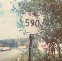 |
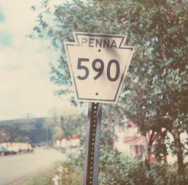
Cutout PA 590 Shield; Pike County.
Photo taken by Michael Summa, 1976. Pennsylvania began to remove
cutouts in the mid-60's to early 70's. This shield was able to see
the Bicentennial. |
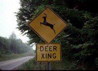 |
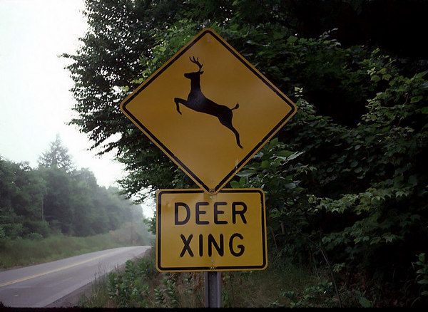
Deer
Crossing warning sign in Snyder County. Photo taken by Fred Yenerall;
July 1975. A new graphic based deer crossing sign is supplemented
with a text "DEER XING" box. This style was common during the 70s
after more graphic based warning signs were introduced. |
 |
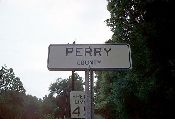
Blue
on White Perry County line sign. Photo taken by Fred Yenerall; July
1975. PennDot switched from the yellow/gold on dark blue to the blue
on white style still seen today. This is the earliest example I have
seen of the blue on white. |
 |
Snyder
County and Chapman Township line signs. Photo taken by Fred Yenerall;
July 1975. Look closely at the bottom center of both signs, you will
see the old PA Division of Highways (PDH) symbol on the Snyder County sign,
and the then 'new' PennDot symbol at the bottom of the Chapman Township
sign. |
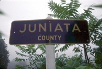 |
Juniata
County line sign. Photo taken by Fred Yenerall; July 1975. |
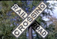 |
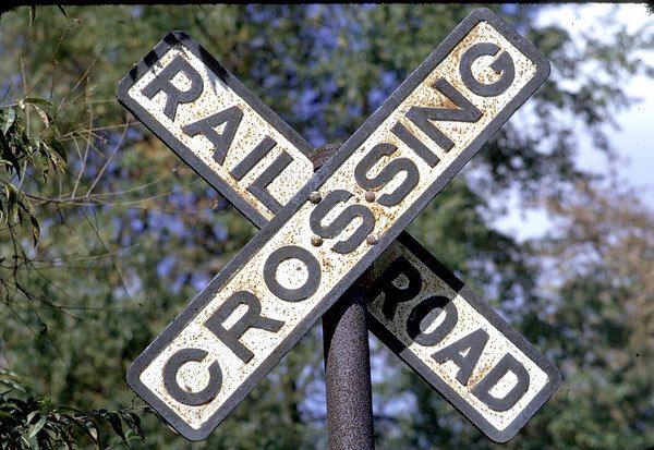
Embossed
Railroad Crossing crossbuck; Westmoreland County. Photo taken by
Fred Yenerall; October 1974. |
 |
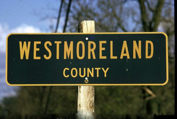
Westmoreland
County line sign. Photo taken by Fred Yenerall; October 1974. |