 The James Madison Highway - Former Alignments
The James Madison Highway - Former Alignments
The James Madison Highway - Former Alignments
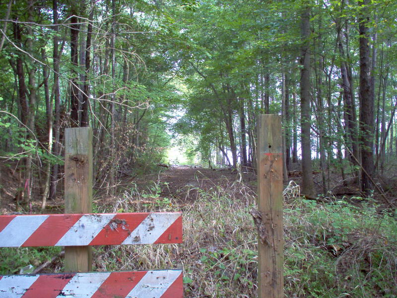 |
Left Image: Looking
southwards at the end of the road for former US 15 (Secondary Route 821).
In 1952, US 15 was moved slightly to the west as a result of the formation
of Kerr Lake. The barricade blocks vehicular access to the reservoir.
(Photo taken by Mike Roberson; September 23, 2006)
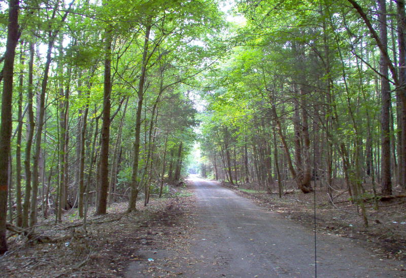
Right Image: Looking north from the same point on former US 15 (Secondary Route 821). The road is still paved; however because of a lack of use, the overgrowth has narrowed the former alignment to one lane. (Photo taken by Mike Roberson; September 23, 2006) |
 |
 |
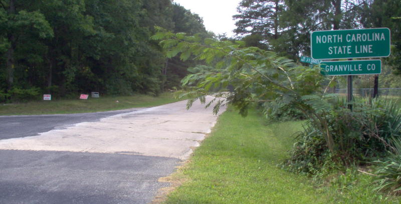
Left Image: Looking
North into Virginia on former US 15 (Secondary Route 822) at the North
Carolina State Line. (Photo taken by Mike Roberson; September 23,
2006)
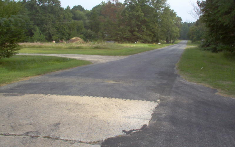
Right Image: Unlike Virginia, North Carolina still uses the original concrete for US 15. Modern US 15 is less than 1/2 mile south of here. (Photo taken by Mike Roberson; September 23, 2006) |
 |
| Site Navigation:
Sources & Links:
Page Created: December 16, 2006
© 2006 William Lawson |