The National Road:
Ohio
Zanesville to Franklin
County
US 40 as it travels
from Zanesville to the Franklin County Line (just east of Columbus), goes
through numerous small towns, changes from four lanes to two numerous times,
and most importantly keeps its rural charm. Between Zanesville and
Gratiot there are four former alignments of the old road that can be found:
just west of Zanesville, Mt. Sterling, Hopewell and Gratiot. Most
stretches are very short and can be easily recognized with names as "Old
US 40", "Old National Road" or some combination of the two.
 |
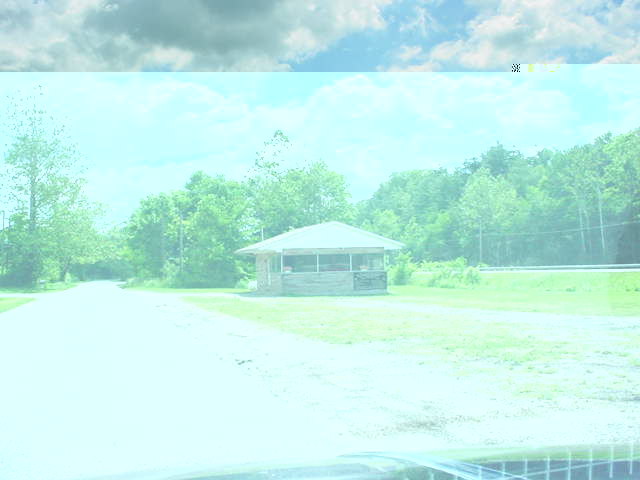
Zanesville: Just
west of US 40's interchange with I-70 runs an old alignment.
Left Photo: Looking
Eastbound on Old US 40 with the four lane US 40 at right. (Photo
taken by Mike Austing)
Right Photo: An abandoned
ice cream stand sits between the old and the new highways. (Photo
taken by Mike Austing) |
 |
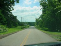 |
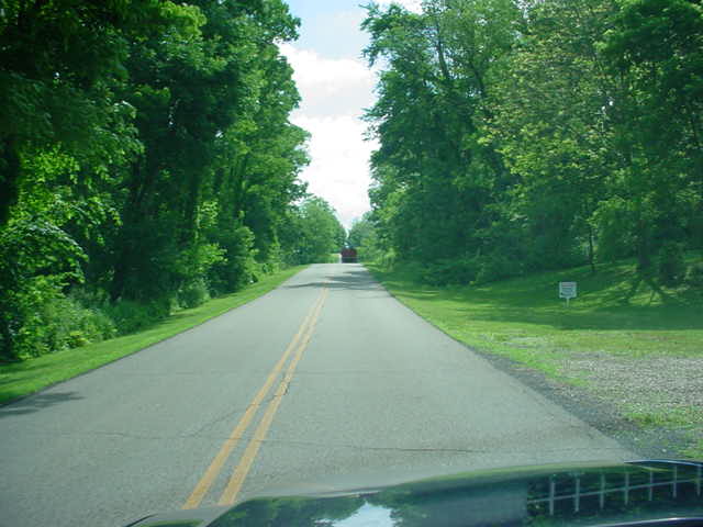
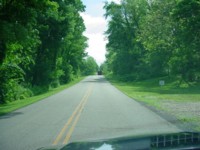
Mt. Sterling: Another
old alignment goes through this small village.
Left Photo: Eastbound
approaching Mt. Sterling. (Photo taken by Mike Austing)
Right Photo: Old route
40 runs quietly towards Mt. Sterling. (Photo taken by Mike Austing) |
 |
 |
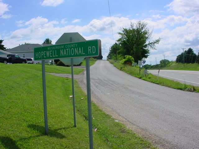
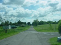
Hopewell: The
old highway is known as Hopewell National Road
Left Photo: Hopewell
National Road bears off US 40. (Photo by Mike Austing)
Right Photo: Old US
40 can be seen near Hopewell Elementary. (Photo by Mike Austing) |
 |
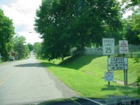 |
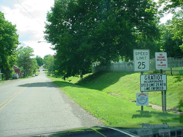
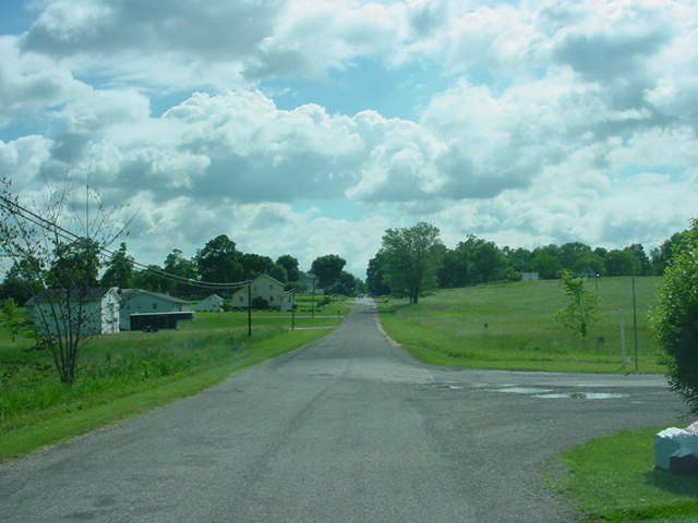
Gratiot: Old
US 40 seems to be forgotten through this town.
Left Photo: Old
US 40 entering the town of Gratiot. (Photo taken by Mike Austing)
Right Photo: A quiet
old highway runs through rural farmland. (Photo taken by Mike Austing). |
 |
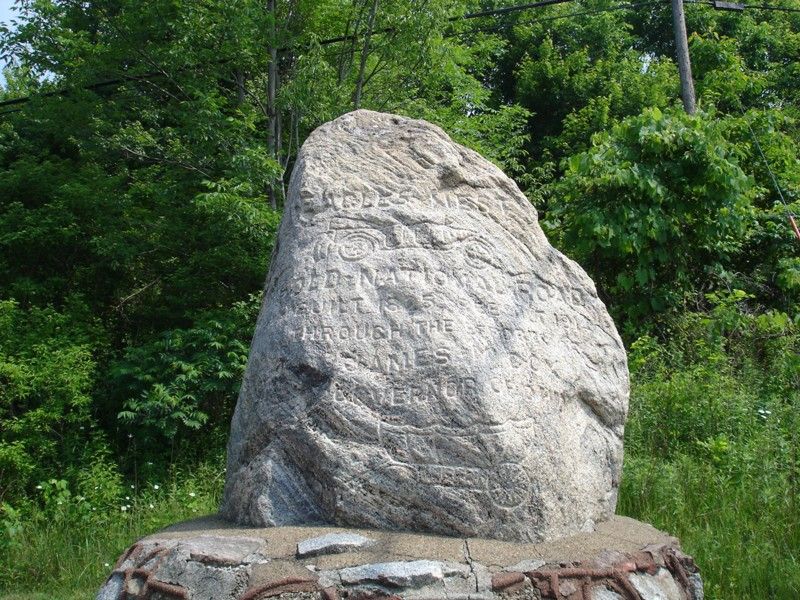
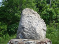
| Just
west of Gratiot on the National Road is the Eagle's
Nest Monument. The monument, a large inscripted boulder sitting
on a stone pedistal and may date as far back as 1914, reads, "Old National
Road, built 1825, rebuilt 1914 through the efforts of James M. Cox, Governor
of Ohio." The engraving includes an early roadster and a covered
wagon. The location of the Eagle's Nest Monument is also the highest
point of the National Road within Ohio. (Photo Credit: Mike Kentner,
June 2, 2007) |
 |
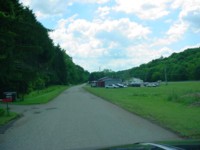
One of the small
towns that Route 40 traverses through in this segment is Brownsville.
Small enough that if you'd blink your eyes you'd miss it, Brownsville captures
the highway's best feature, the charm of the towns and the people the exist
and live with it. Located here is the Brownsville
School. The building was built in 1900 and has recently been
transformed into a bed and breakfast. The school now turned B&B
has been renamed 'The National Trail Schoolhouse Inn.'
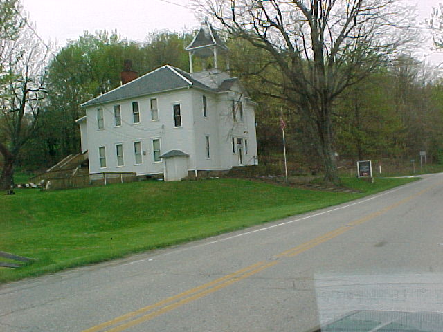
The National Trail
Schoolhouse Inn, formerly Brownsville School, located in Brownsville.
(Mike Austing)
Alex Burr of
southern Maine has traveled US 40 numerous times since the late 1940s.
He still recalls many of the towns that he has gone through over the years.
He also was kind enough to share a few photos taken on his journey through
Licking County on US 40 in late December 1998.
Mike Austing of
southeast Ohio shares some great scenes of the road from Muskingum and
Licking Counties.
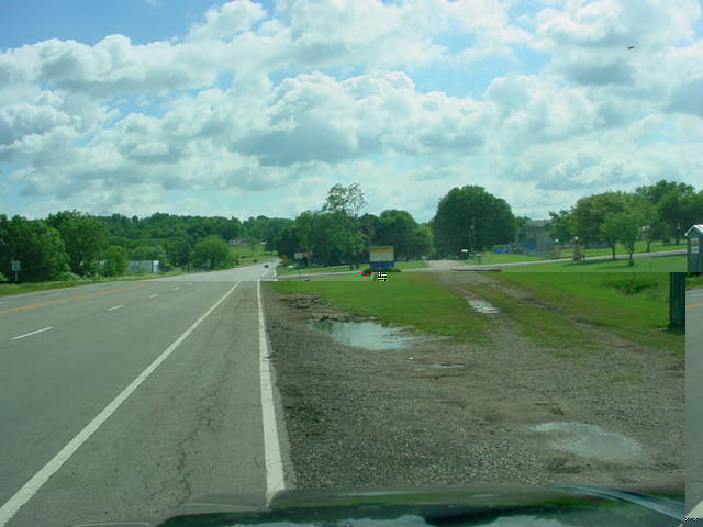
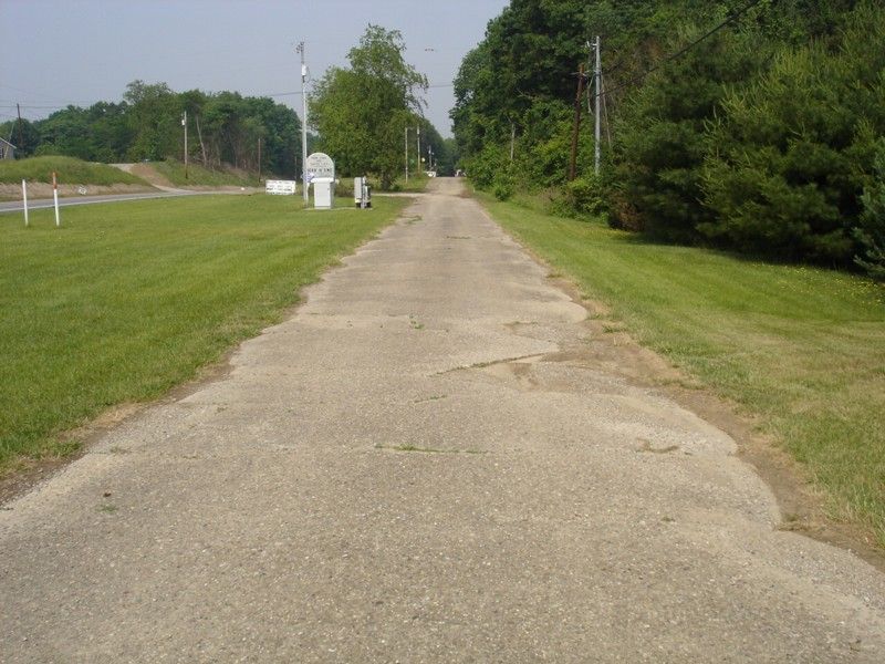
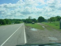
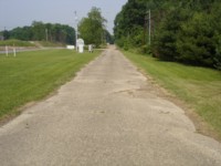
| Another
section of the old National Road can be found just outside of Linnville.
(Photo
at right - Mike Kentner, June 2, 2007) Further down the highway
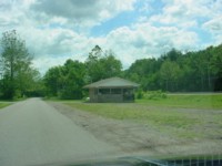
from Brownsville at the corner of US 40 and OH 13 in Jacksontown
is Clark's Dining Room which since the late 1910s has serviced travelers
along the road with a fine meal. Nearby is the Jack Town Pub, it
appears that this building once served as a hotel at one time. |
 |
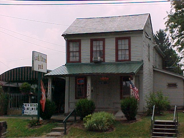
The Jack Town Pub.
(Mike Austing)
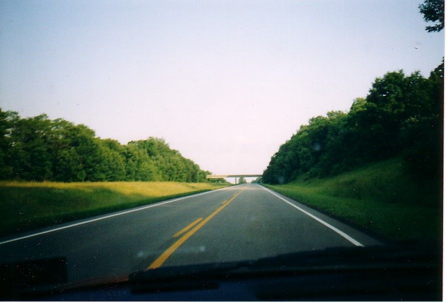
| Off of Interstate
70 at Exit 122, there is an odd piece of both the Interstate and US 40
history. In 1959, US 40 was moved
onto a new four lane freeway from near Brownsville (I-70 Exit 141)
to Kirkersville (I-70 Exit 122). This road would later become I-70.
From
1962 to 1968, Interstate 70 would end here. After I-70 was built
on to Columbus, a small one mile piece of this freeway became detached
from the Interstate. When US 40 returned to the original two lane
highway in 1970, this stub became even more un-needed. In time, the
old westbound roadway was removed. However, you can still see the
old right-of-way of this dead freeway, and a bridge overpass still carries
a local road over the highway. (Photo at right) Currently,
OH 158 is routed on the old US 40 and old I-70. |
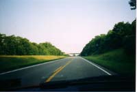
Old I-70/US 40 near
Kirkersville.
(William Lawson) |
The National
Road in Ohio is full of various road, historical, and Americana features.
If you would like to assist in this project with anything from corrections,
to new ideas, stories or photos, please e-mail me at aprince27@gmail.com.
Continuing on the Trail:
East into Zanesville
to Cambridge
West into Franklin
County and Columbus
National
Pike Photo Essay Index
Site Navigation,
Sources & Links:
The
National Road @ roadfan.com ---Marc Fannin and Sandor Gulyas
US
40 @ Unofficial Ohio State Highways Web Site ---John Simpson
US 40 @ OHHighways.com --Jeff Kitsko
Route
40 Net ---Frank Brusca
Mike Austing
Alex Burr
Mike Kentner
Brenda
and Larry Shrider
Page Created: May 18, 2002
Last Updated: July 5, 2007
© 2002-07 William
Lawson