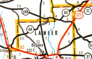
| For many years, Georgia Highway 64 cut the corner from GA 135 and GA 168 over a three mile stretch of dirt highway in both Berrien and Lanier Counties. (See the dotted line above 'Lanier' in the map at right.) Sometime between 1979 and 1988, Highway 64 was moved to follow GA 135 North and then onto GA 168 East. Today, not many would know that this old dirt road -- that is barely wide enough for two lanes -- was once Georgia 64. The photos below show what former Georgia 64 looks like today, and more than likely what it looked like over 30 years ago. | |
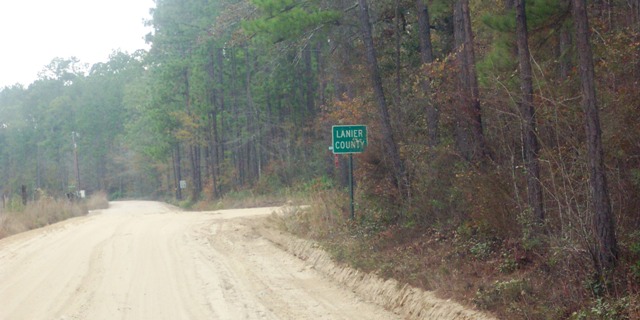 |
Left Image: South on
Old GA 64 at the Berrien/Lanier County Line. GA 64 would turn right
at the intersection. Photo taken by Becky Taylor.
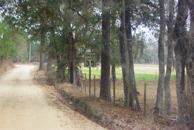
Right Image: A weathered Speed Limit 35 sign on Old 64 in Lanier County. Photo taken by Becky Taylor. |
 |
| Further north from Pearson to Alma, GA 64 has just as interesting of a history. Originally, GA 64 continued North to Tattnall County. But in the late 60s, the designation was cut back to Alma. What is interesting is that appears that GA 64 never continuously made it from Pearson to Alma. A short section of GA 64 was not completed between the local Coffee County community of Wilsonville and the Bacon County line in 1952 and that never was finished. It was listed as projected mileage through 1979. (1) The map at right shows the incomplete GA 64 as late as 1979. If you are able to explore this rural area of Southern Georgia and get photos, please send me an e-mail. | 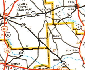 |
Sources & Links:
Page Created: March 3, 2007
Last Updated: March 3, 2007
© 2007 William Lawson